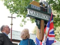
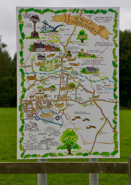
Carbrooke, Norfolk is a small agricultural village, yet has a surprising & fascinating history, with influences through the centuries from around the world.
This page brings together useful information, facts and figures about Carbrooke.
OS Reference N52:34:56 EO52:35
Postal Town: Thetford (Post code IP25 6_ _ )
Acreage: 3129 acres (12.66km2) (4.89mi2)
Population: 2073 (2011Census)
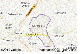
3 miles (4.8 km) from the centre of Watton, 8 miles (13 km) from Dereham and 17 miles (27 km) from Thetford.
Ecclestiastical Parish Information: St Peter and St Paul Church Carbrooke Parish, (within the Benefice of Ashill, Saham Toney and Ovington), Breckland Deanery, Archdeaconary of Lynn, Diocese of Norwich.
Electoral Parish Information: Carbrooke Parish, Breckland District, Mid Norfolk, East Anglia. (Templar Ward).
Carbrooke is positioned on the main Norwich to Watton Road which also leads on to Thetford, and eventually to London, or to Swaffham and North. We have good through roads running through the centre of the village in all directions North, South, East and West. We have 3 large farms, bringing in new landlords and employers over the years with their staff and stories of the outside world. As placed it was reasonably easy for our residents to get in and out of the village and on to other parts of Norfolk or Britain, by walking, riding and later train travel.