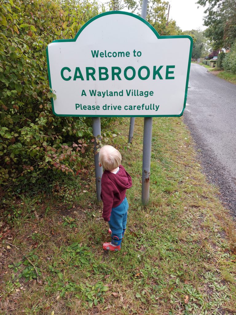
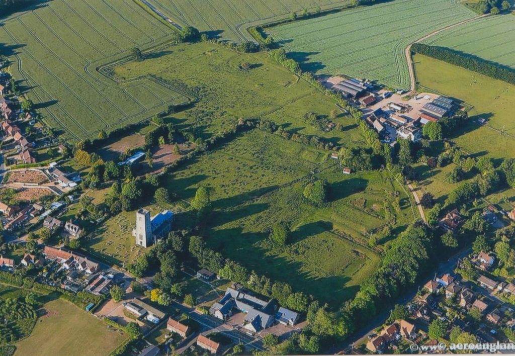
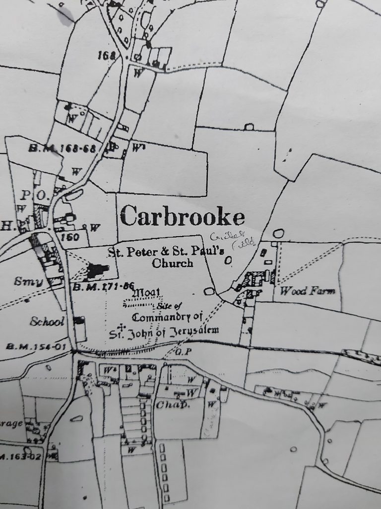
Discover more of the heritage of the roads and places in Carbrooke, a small agricultural village in Norfolk. It has a surprising and fascinating history, with influences through the centuries from around the world.
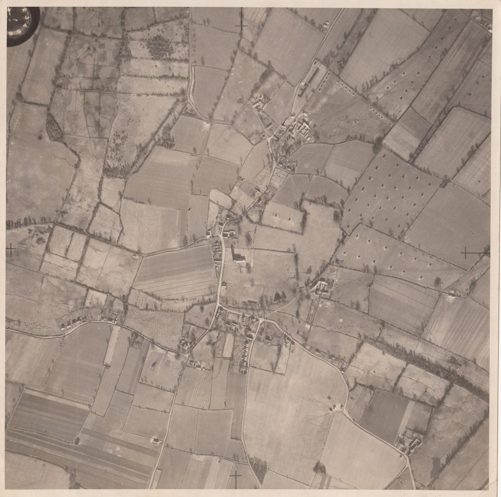
The earliest local map we are aware of, is the Fadens maps of Norfolk series. This was produced during the 1790s, showing the county prior to enclosure.
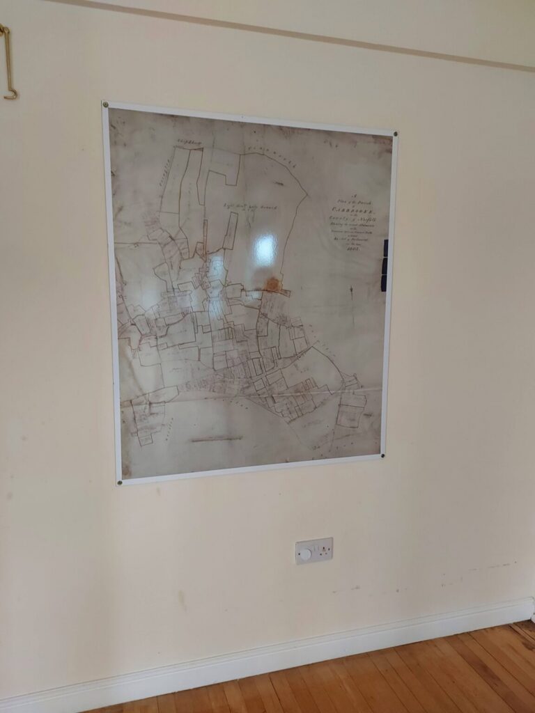
In 1803 an Enclosure award map for Carbrooke was drawn up detailing land parcel ownership. The original enclosure map for Carbrooke is housed at Norfolk Records Office, with a copy on display in Carbrooke Village Hall.
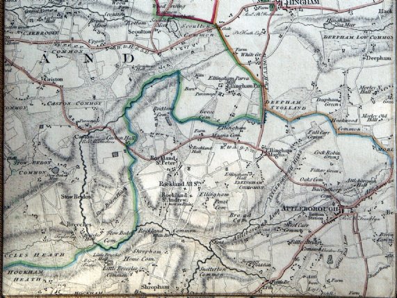
1826 Bryant’s map of Norfolk was produced.
Road Names
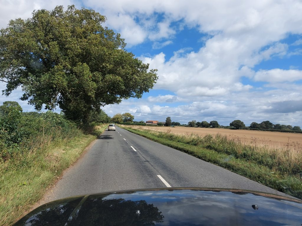
Caston Road
A mainly straight road, passing Low Farm and Red Barn House, which leads through arable fields and out of the parish towards Caston (onto Thetford), or Rocklands (onto Attleborough).
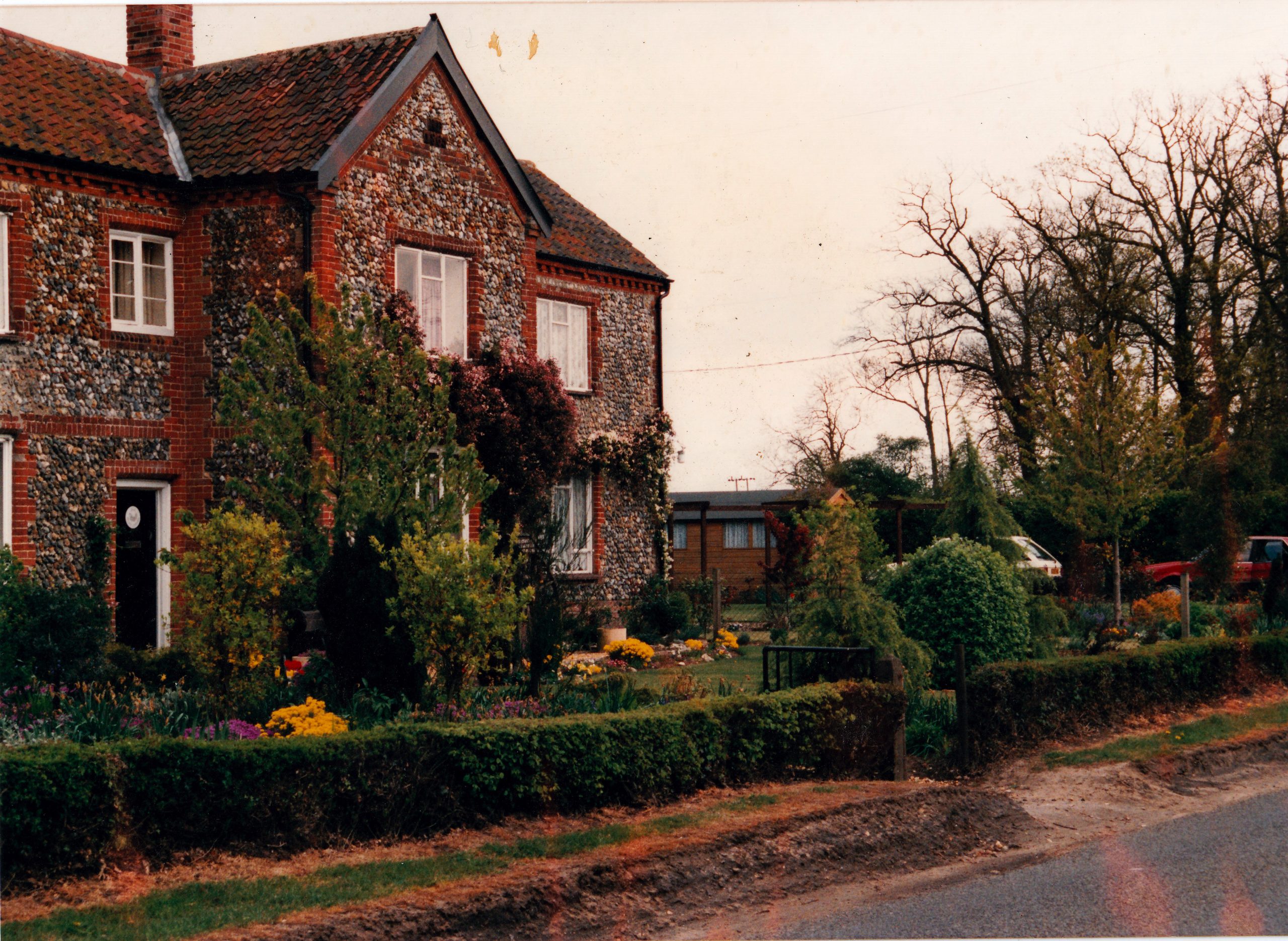
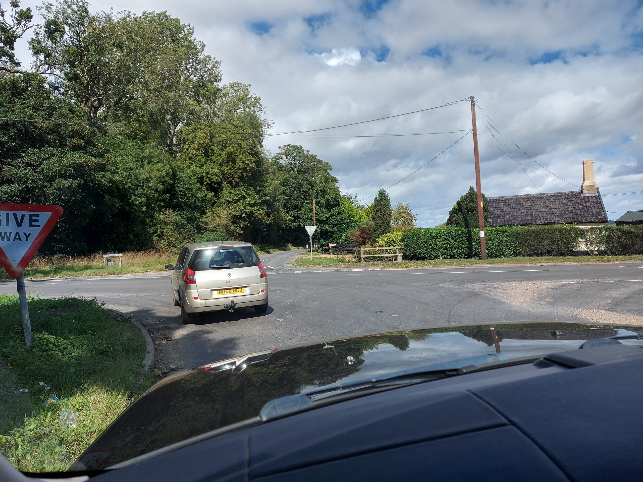
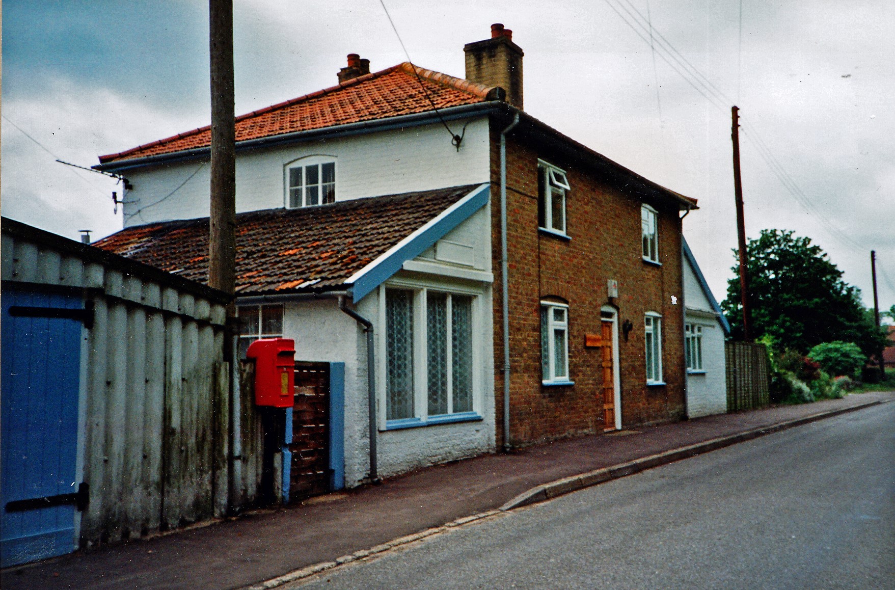
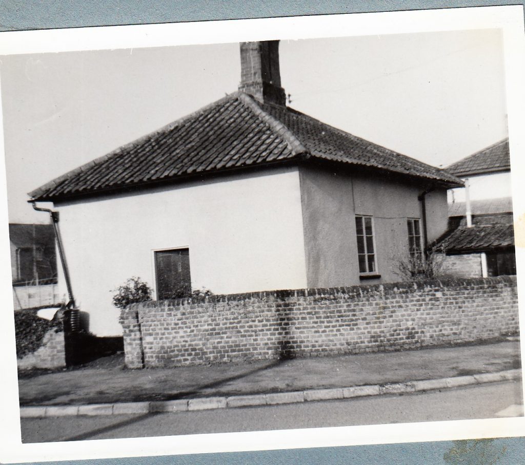
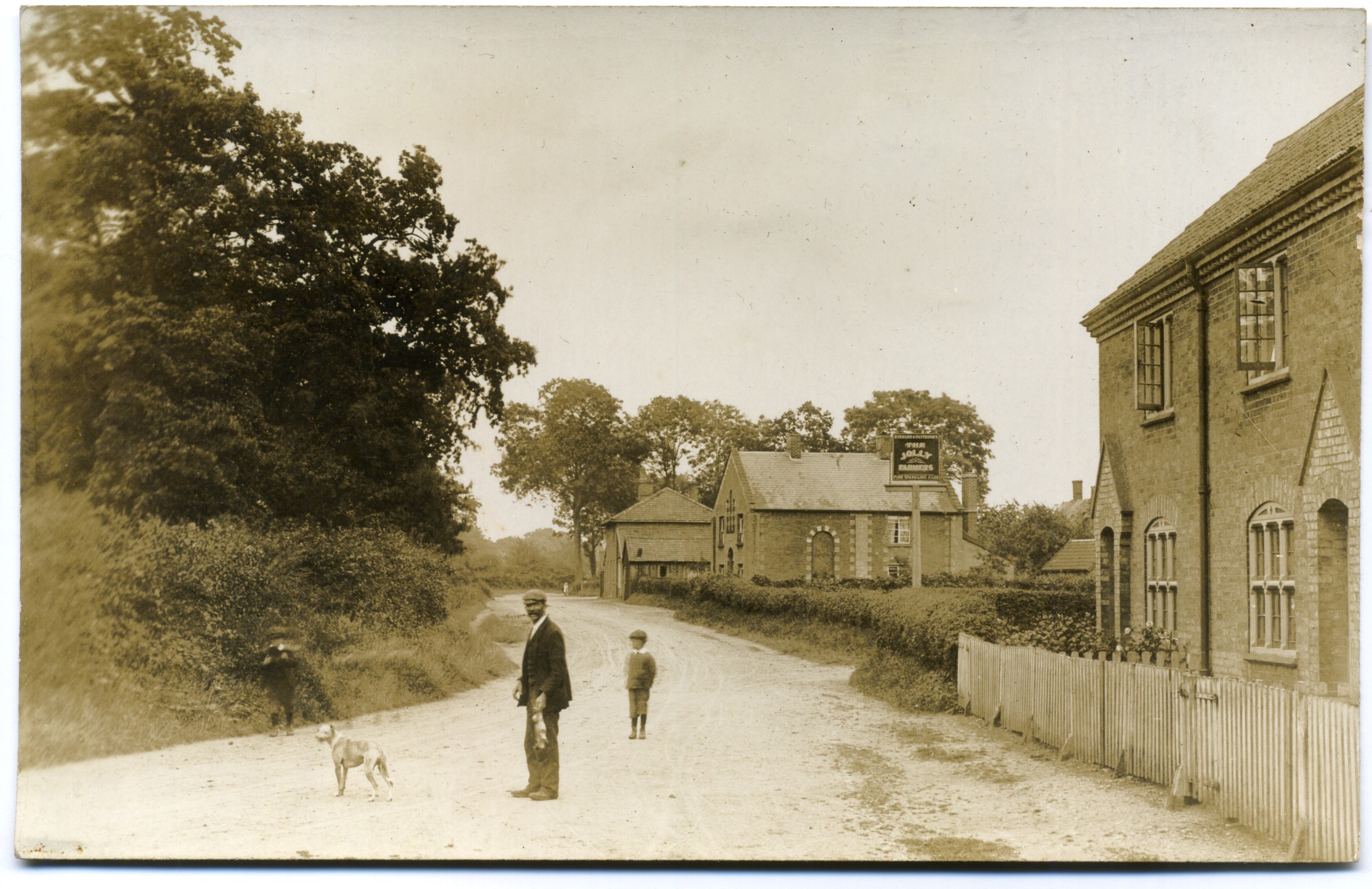
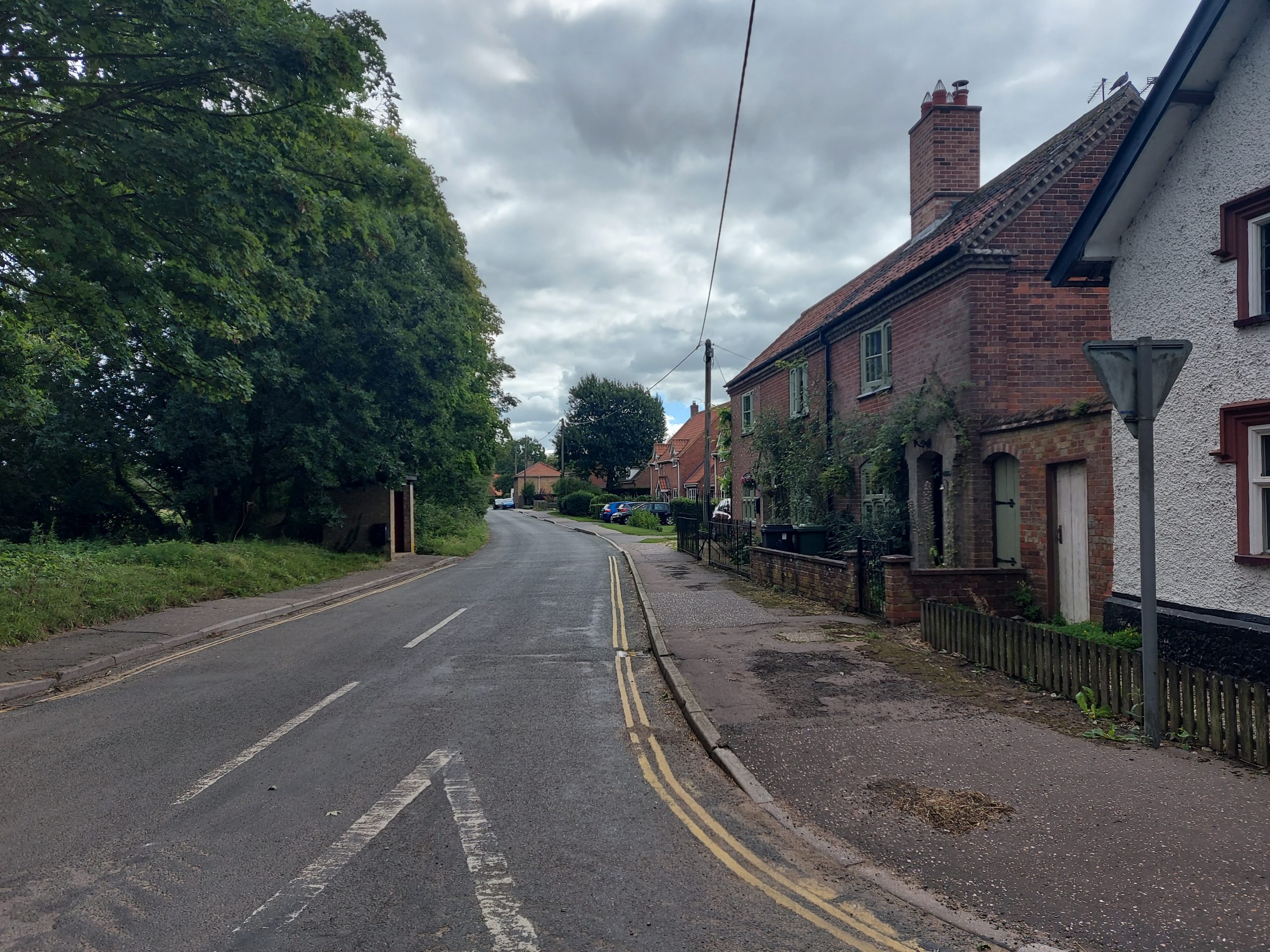
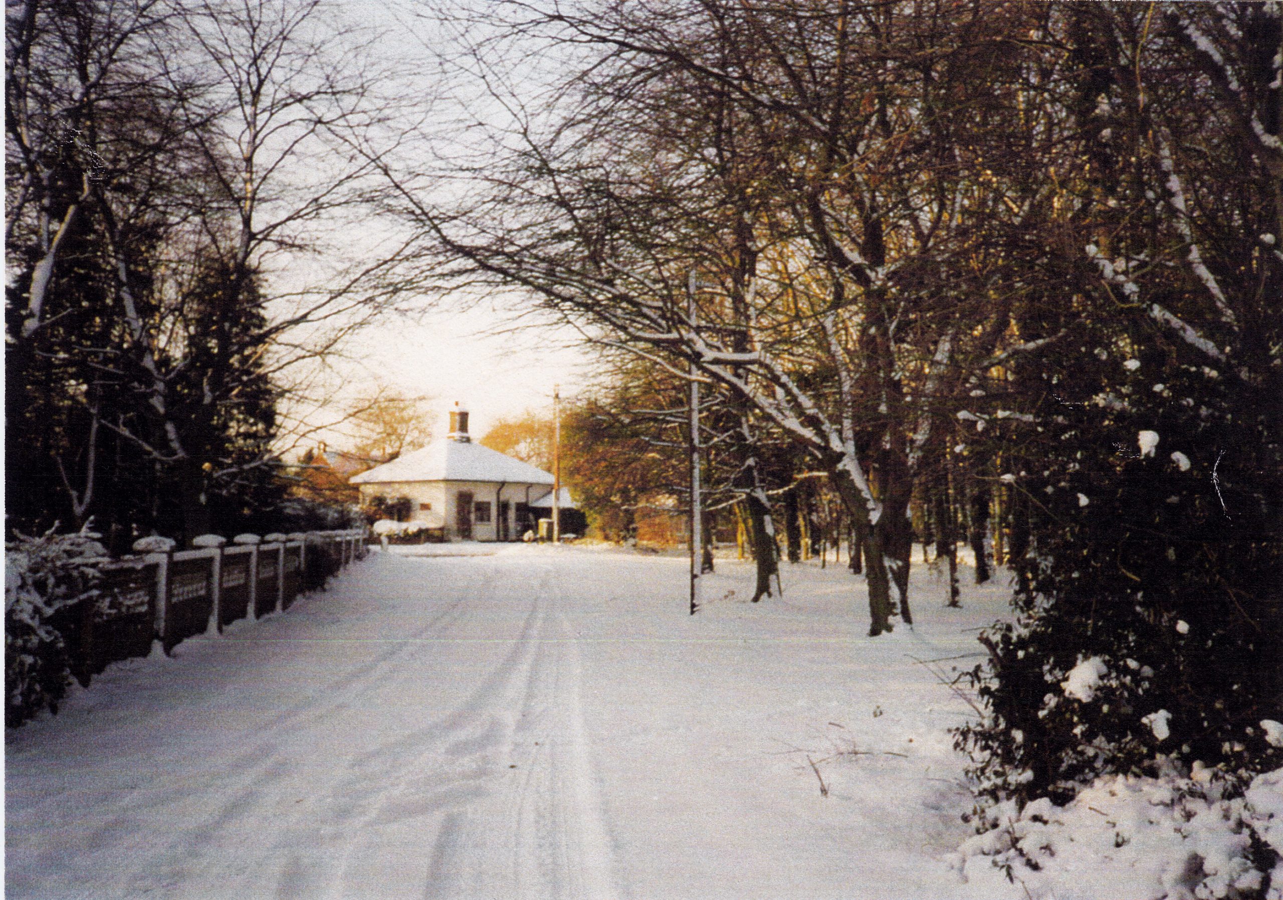
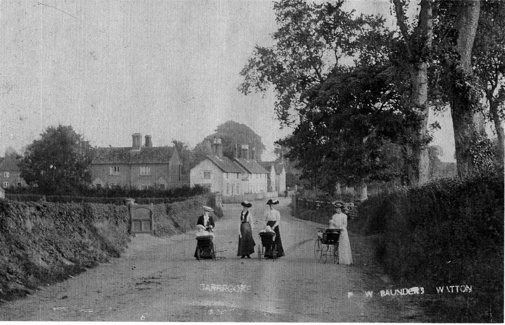
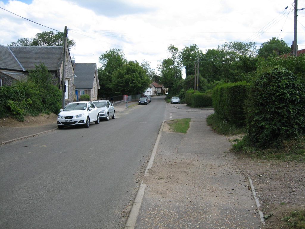
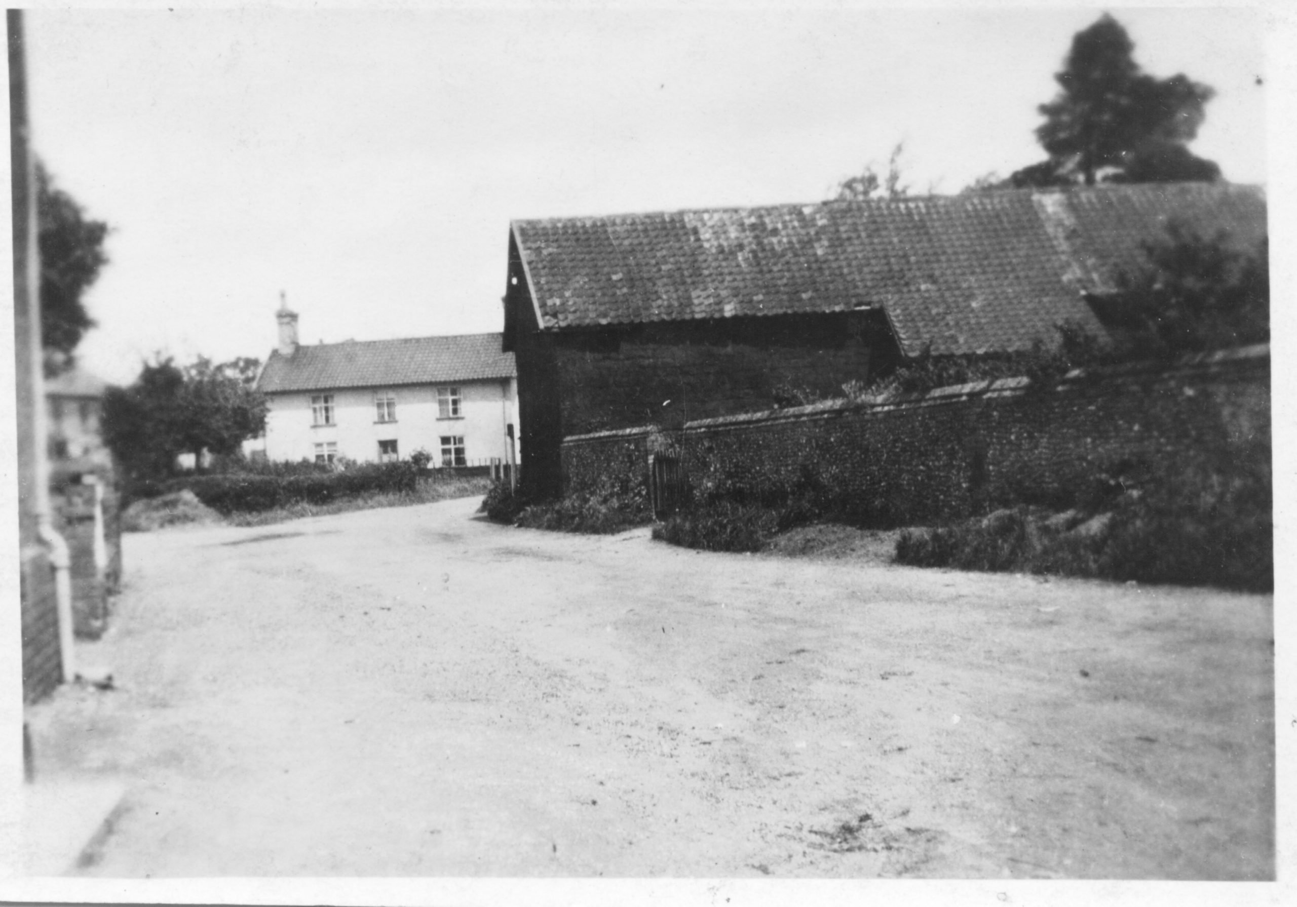
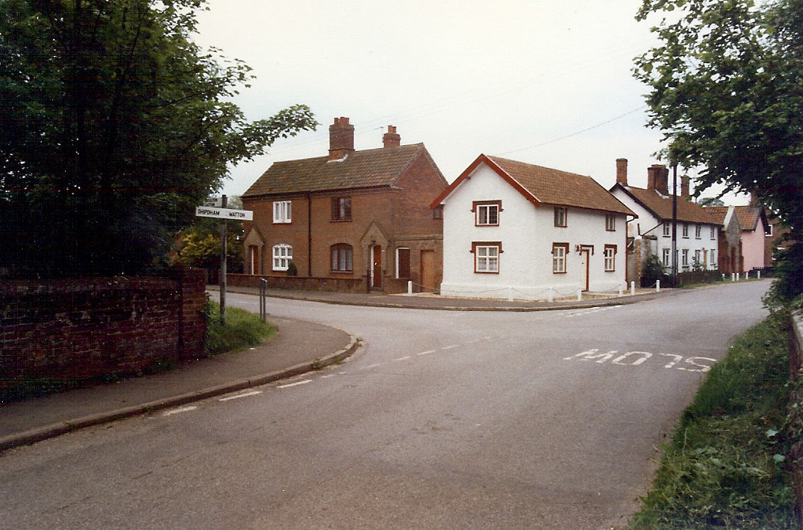
Muttons Corner at the crossroads – Carbrooke, Watton, Norwich, Attleborough
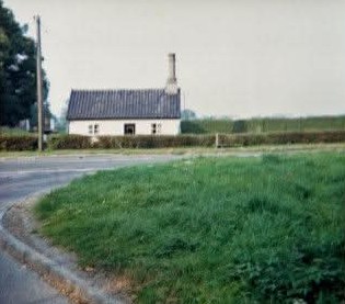
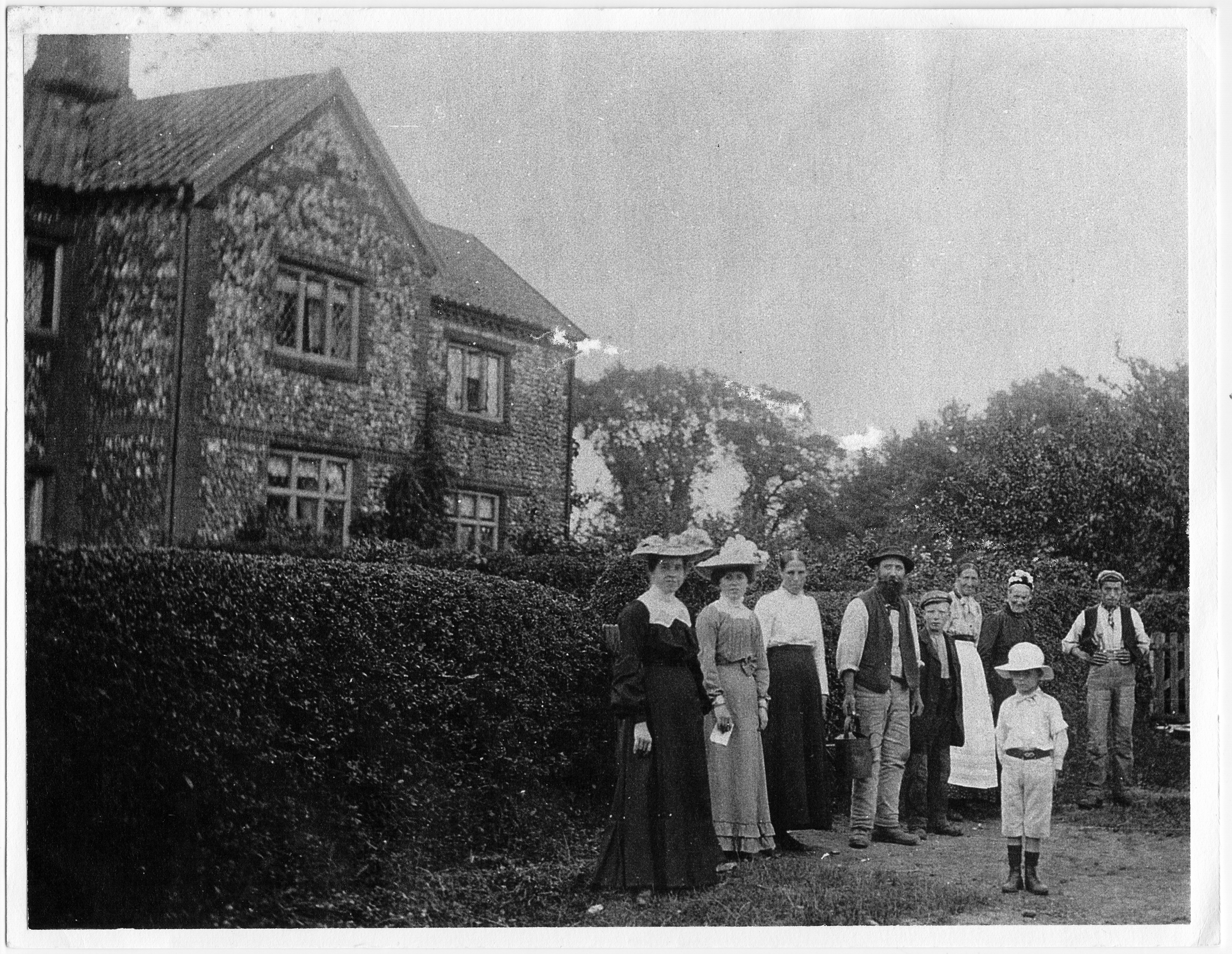
This area was named after the ‘Mutton’ family which lived here around the turn of the 20th century. It is considered that this small cottage was the Toll House when the Norwich Road was a turnpike.
This area was known as ‘Upgate’.
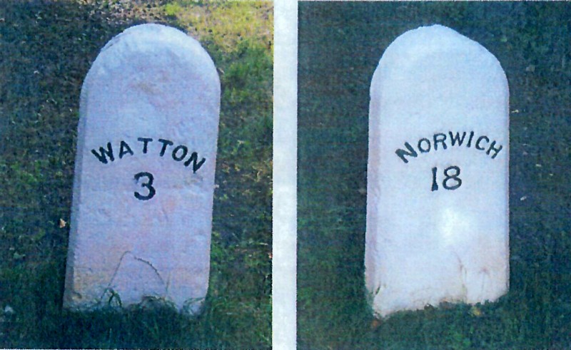
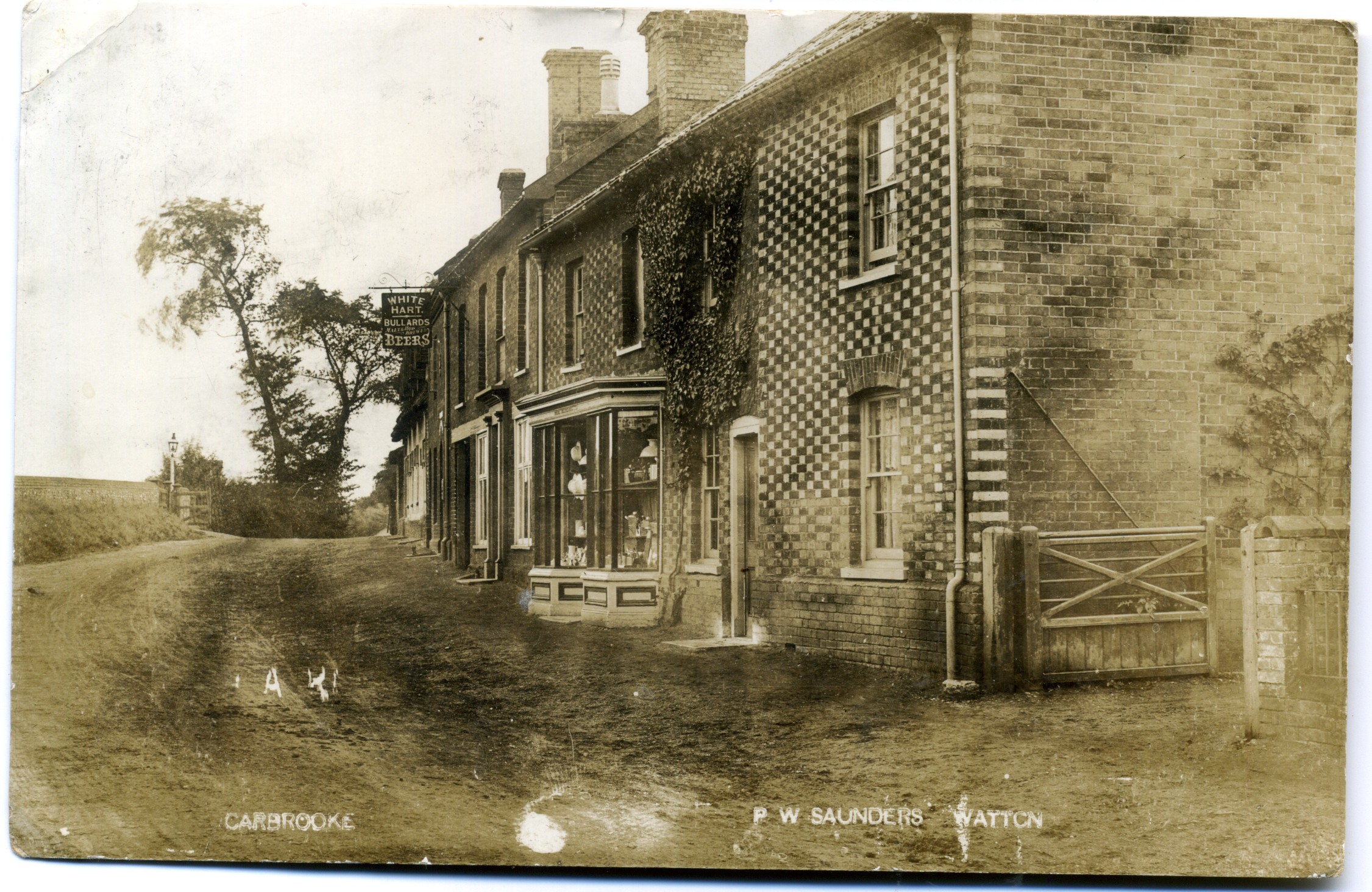
Norwich Road/ B1108 / Turnpike Road
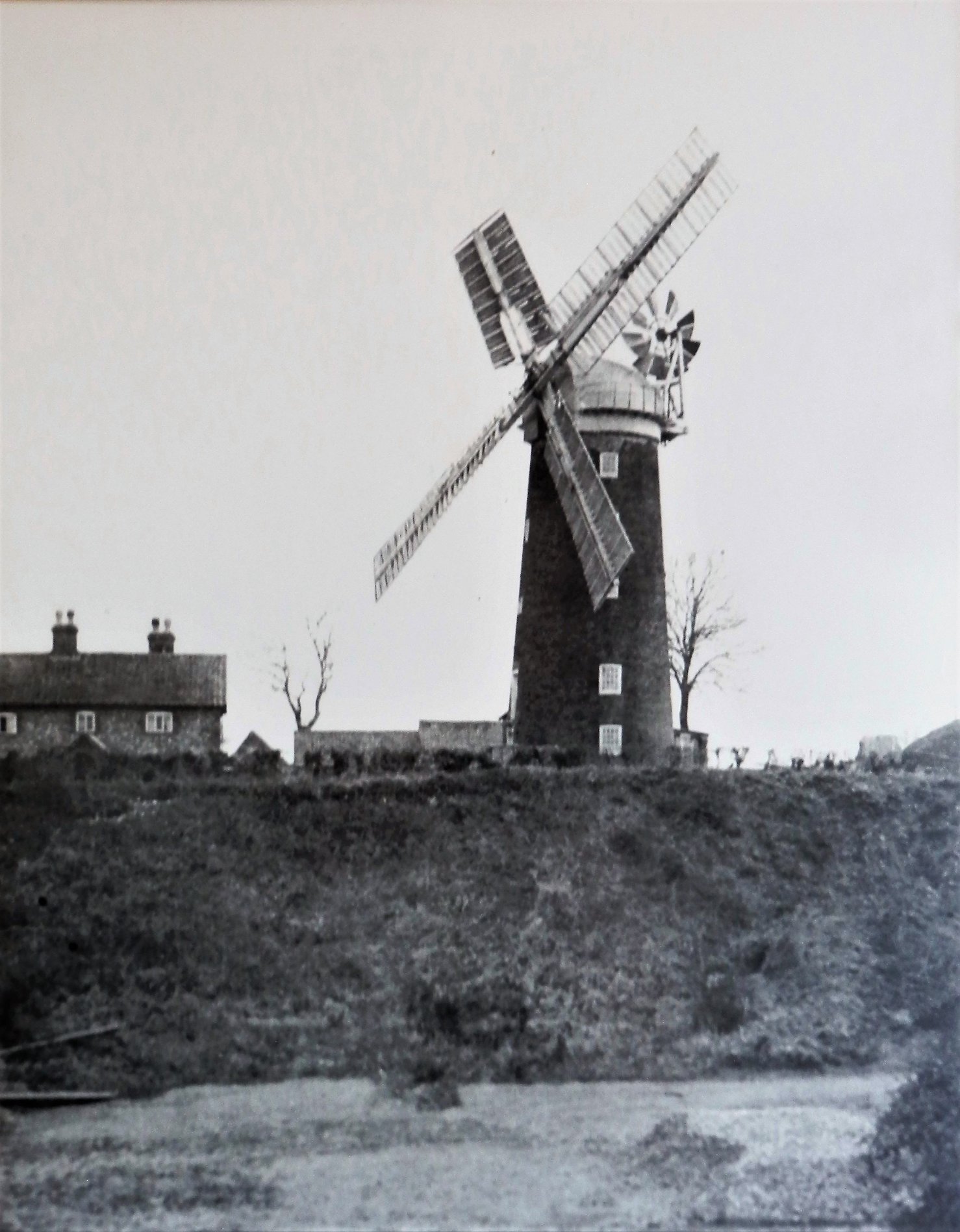
The main road through the parish leads eastwards to Norwich and westwards through Watton. It was made a turnpike, or toll road, in 1770 by Act of Parliament. Its 21‑mile length stretched from the Windmill in Watton to St Stephen’s Gate in Norwich, with toll gates placed at regular intervals. The road was maintained in good condition by individual turnpike trusts, funded by the tolls
It is not known whether this was an upgraded pre-existing road, or whether it was a completely new road. However it is on the highest ground in the area to prevent waterlogging.
Milestone markers were placed at mile intervals, and there are two within the parish bounds. One of these was discovered in a ditch by a local resident, renovated and returned to its position by the milestone society.
Further along the Norwich Road in the direction of Watton – Carbrooke Hall and Carbrooke Hall Farm, several cottages.
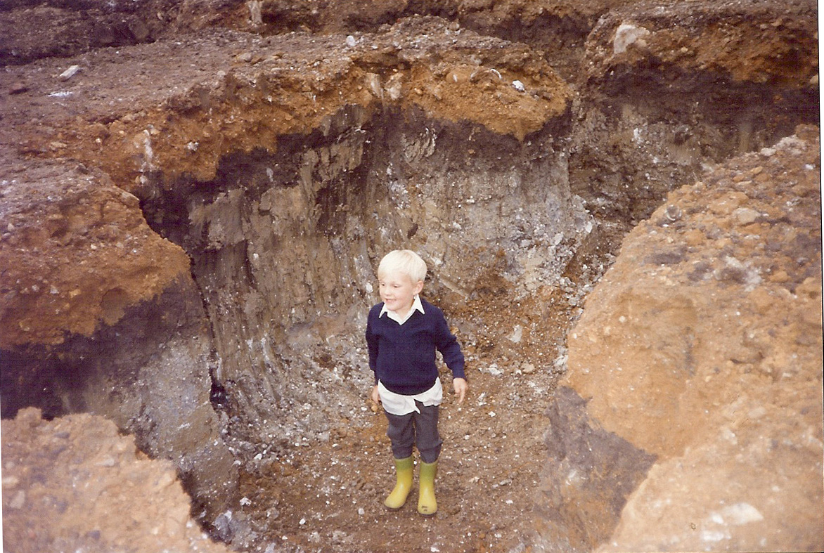
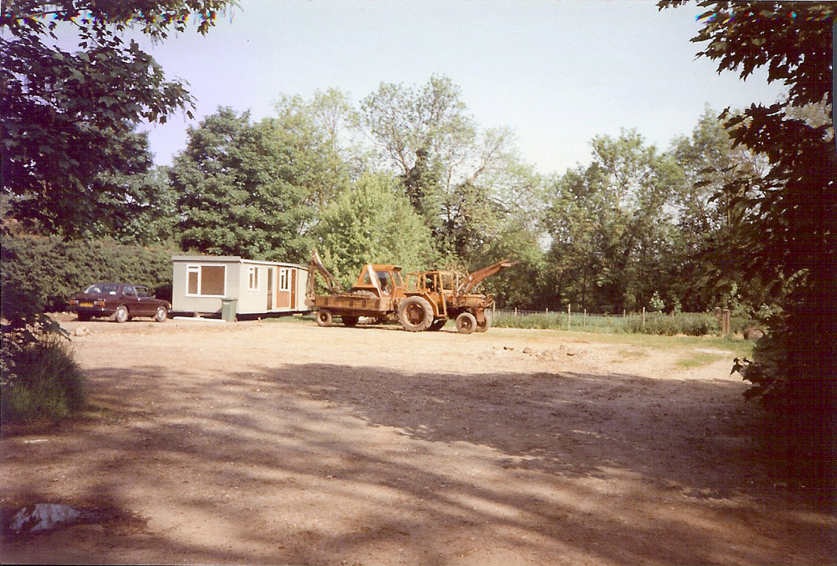
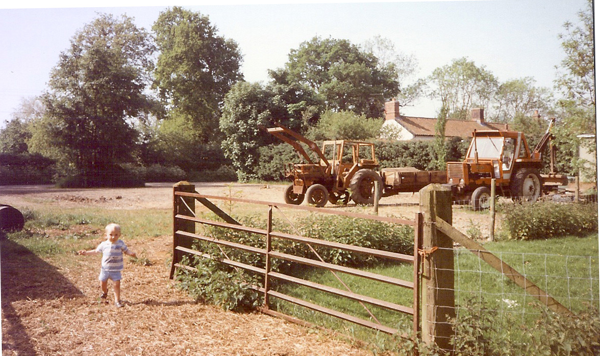
Crossroads to Southmoor or to Mill Lane. Gravel pits.
- Crossroads to
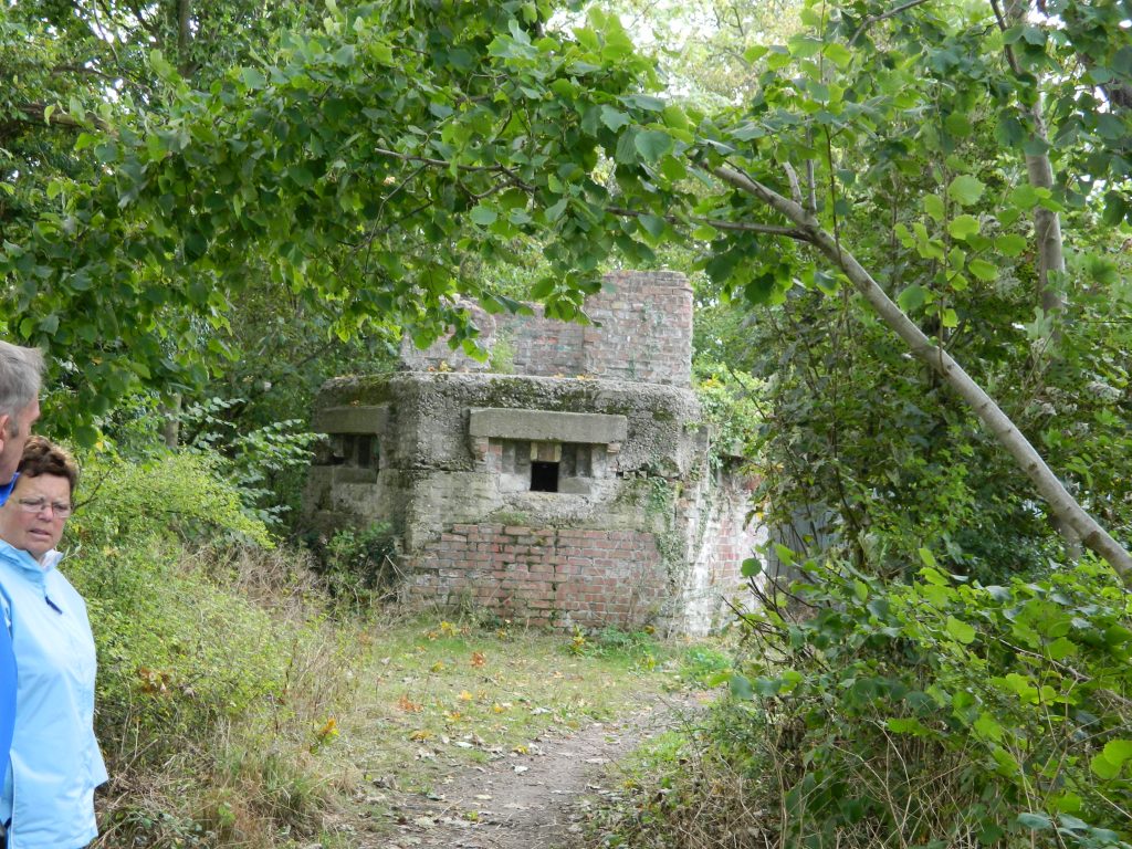
- (footpath) Griston this road was officially closed when the aerodrome was constructed, but has reopened as a public footpath.
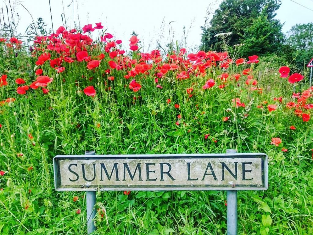
- Summer Lane, this name is a corruption of ‘South Moor’.
Raj Indian restaurant, formerly Flying Fish Pub, previously White Horse Pub.
East Coast Castings ( Foundry), previously Page Hunton.
Broadmoor/ Broadmere / Chapel Street. Approximately one mile and leading past several farms (Bullens Farm – previously Broadmoor Farm) farm cottages and agricultural land into the village centre.
Passing on the right a farm track towards ‘ Kippen Ash cottages – now demolished), and further, on the right Cuckoo Lane leading to the Norwich Road.
Broadmoor Farm (perhaps previously Ash Farm).
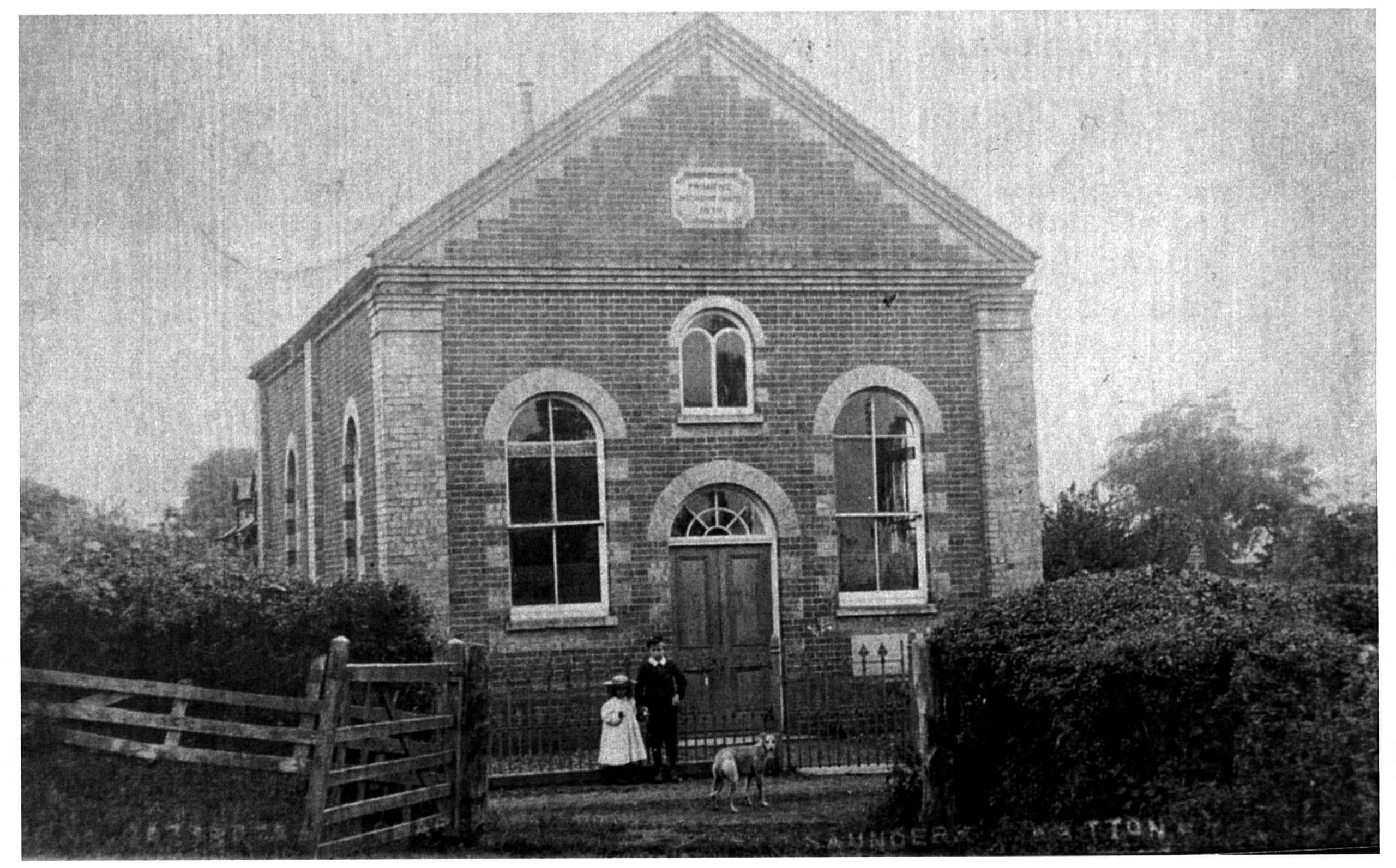
The original Primitive Methodist Chapel – now private residence. Carbrooke Police house – now private residence.
Minor crossroads – to Mill Lane and opposite Wood Farm (perhaps the manor house and oldest property in the parish).
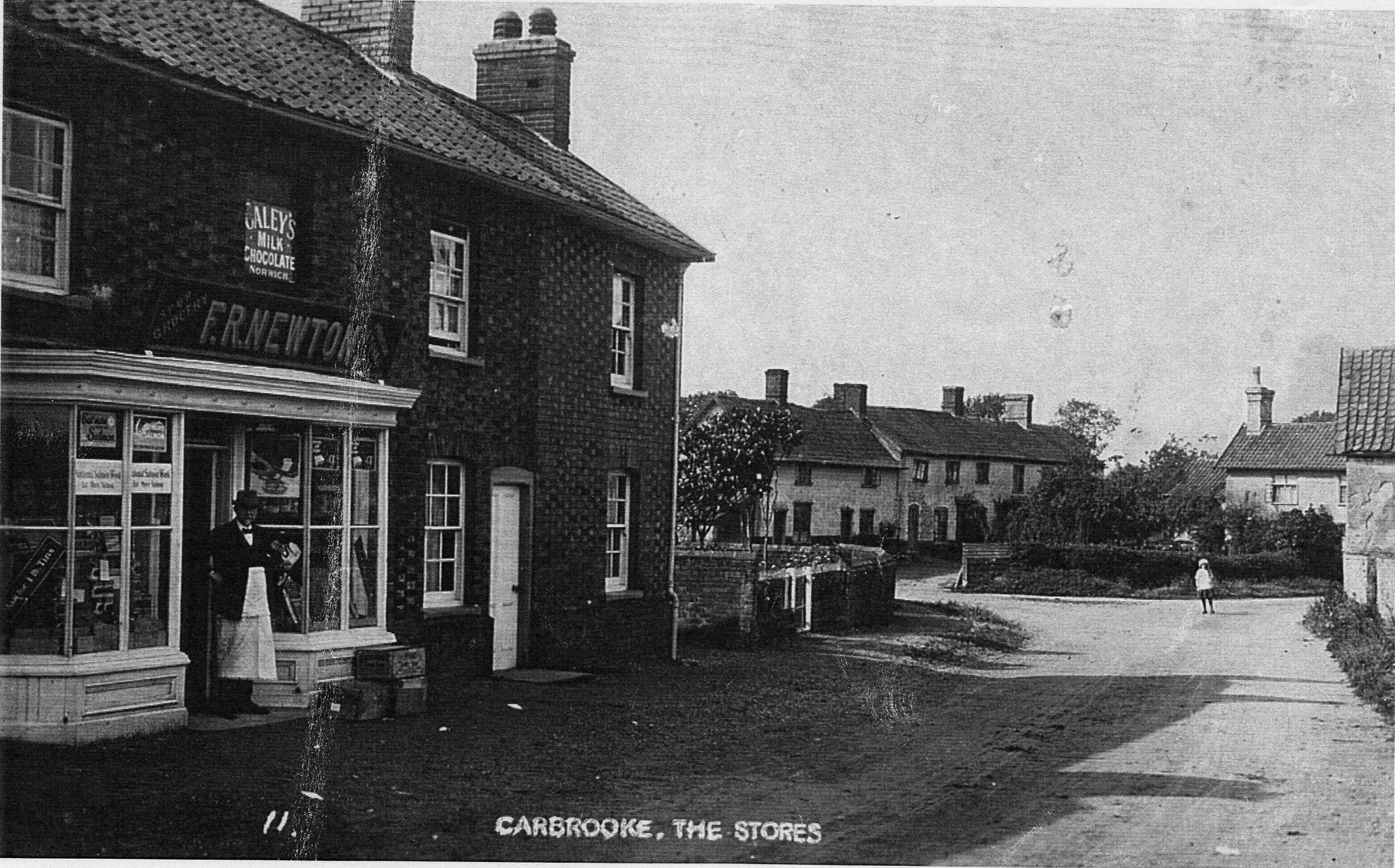
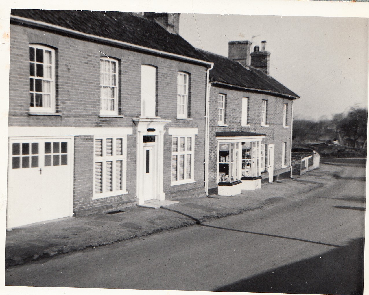
Broadmoor Stores and Post Office (post 1982).
This part of Broadmoor Road was apparently known as Chapel street, due to the Unitarian Chapel 1833 – 1980, now demolished and replaced by newbuilds.
Muriel Spragg Close
North Farm
Bus Shelter – erected c1974, by Womens Institute fundraising.
Mill Lane
Southmoor
Griston Road
Kippen Ash
Wood Farm Lane
Summer Lane
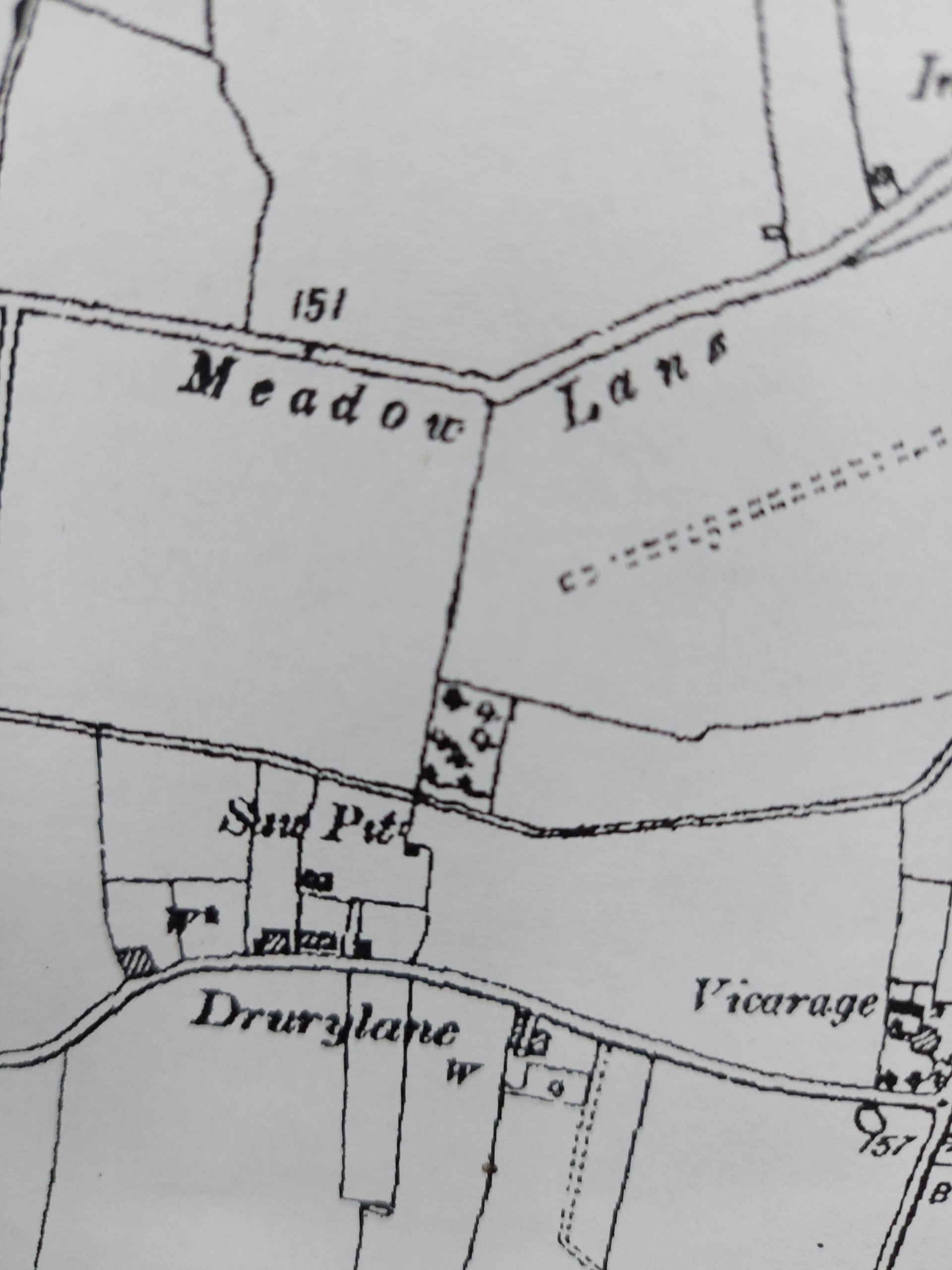
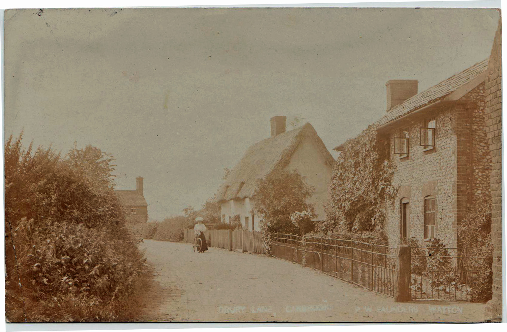
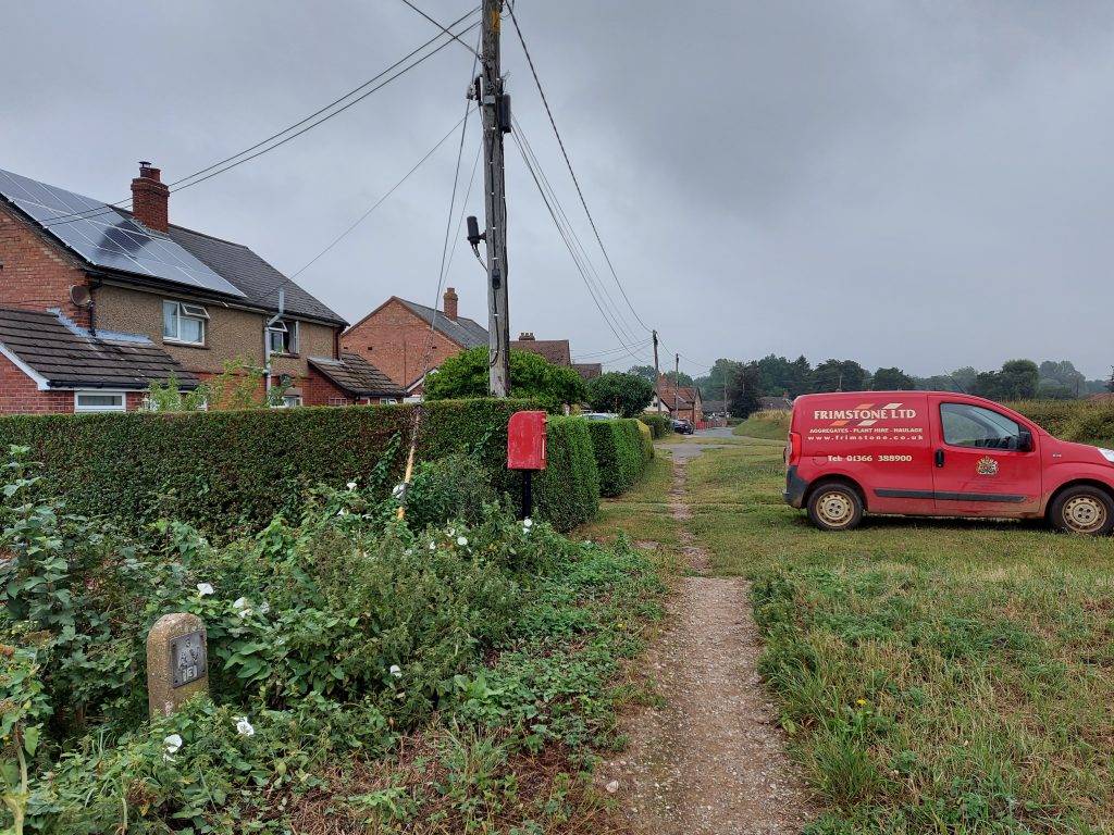
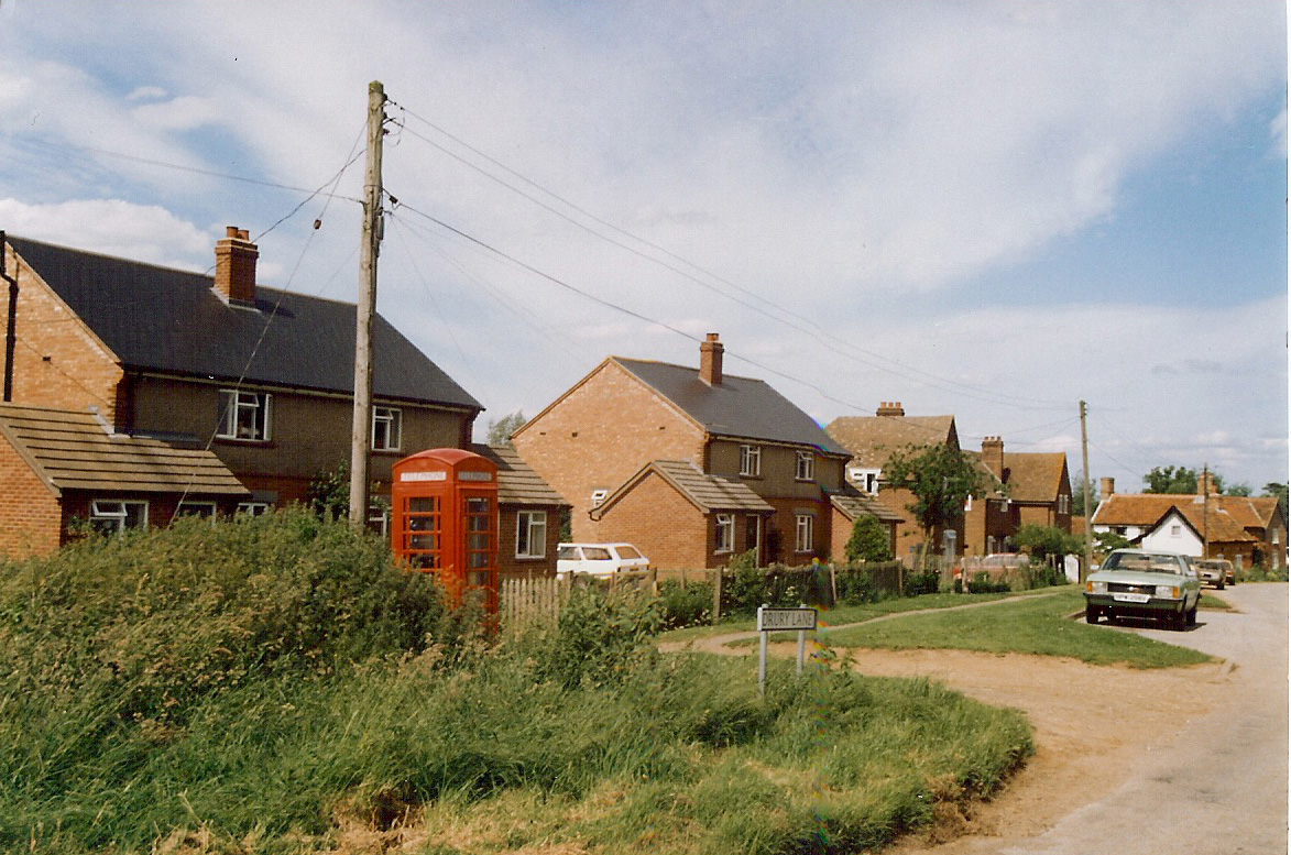
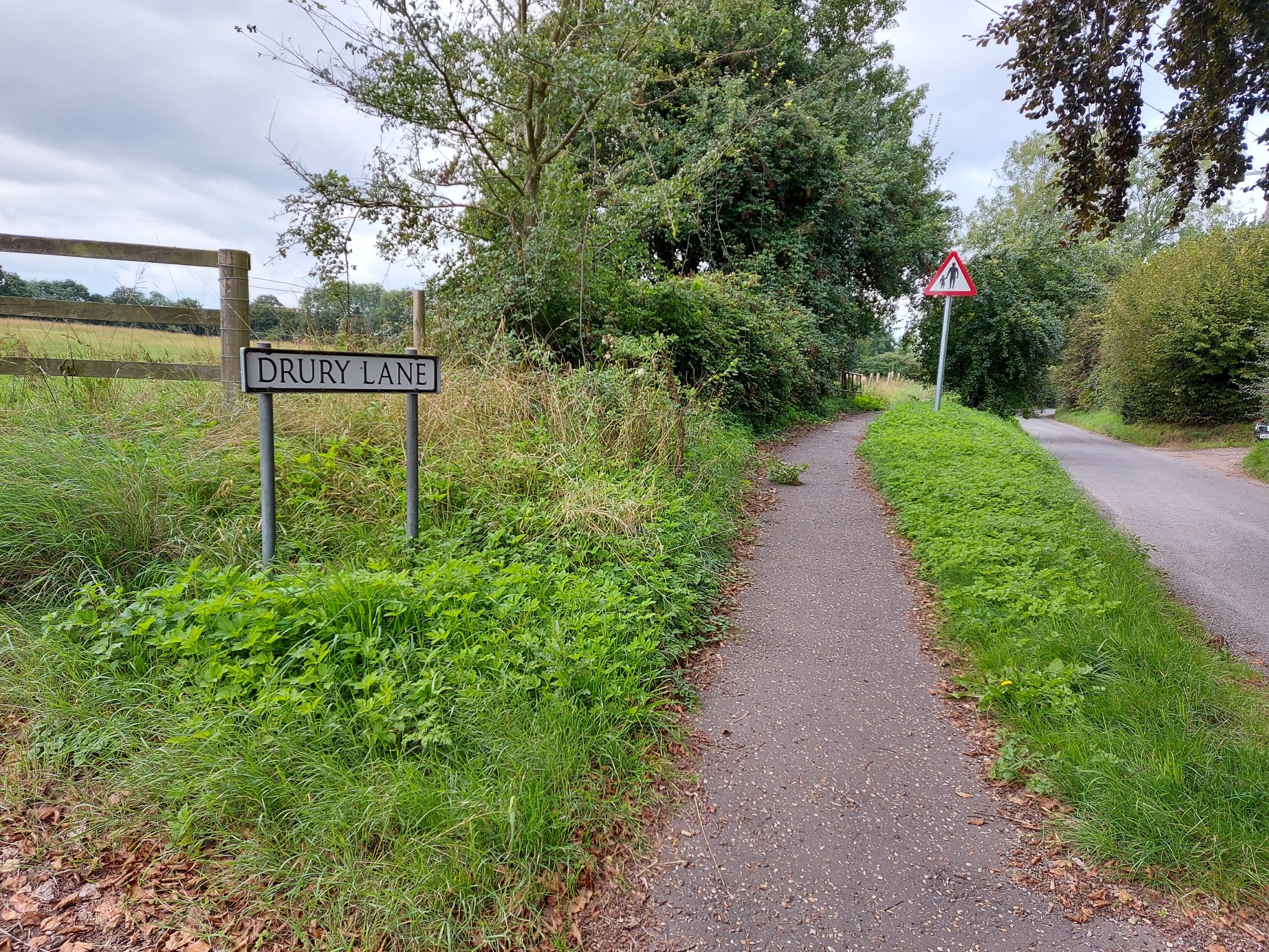
Drury Lane
Caudle Springs
(Aerolite) Footpath
Ovington Road
Fen Lane / The Fen footpath
Willow Corner
Shipdham Road/ Lane/ Tun Moor
Meadow Lane
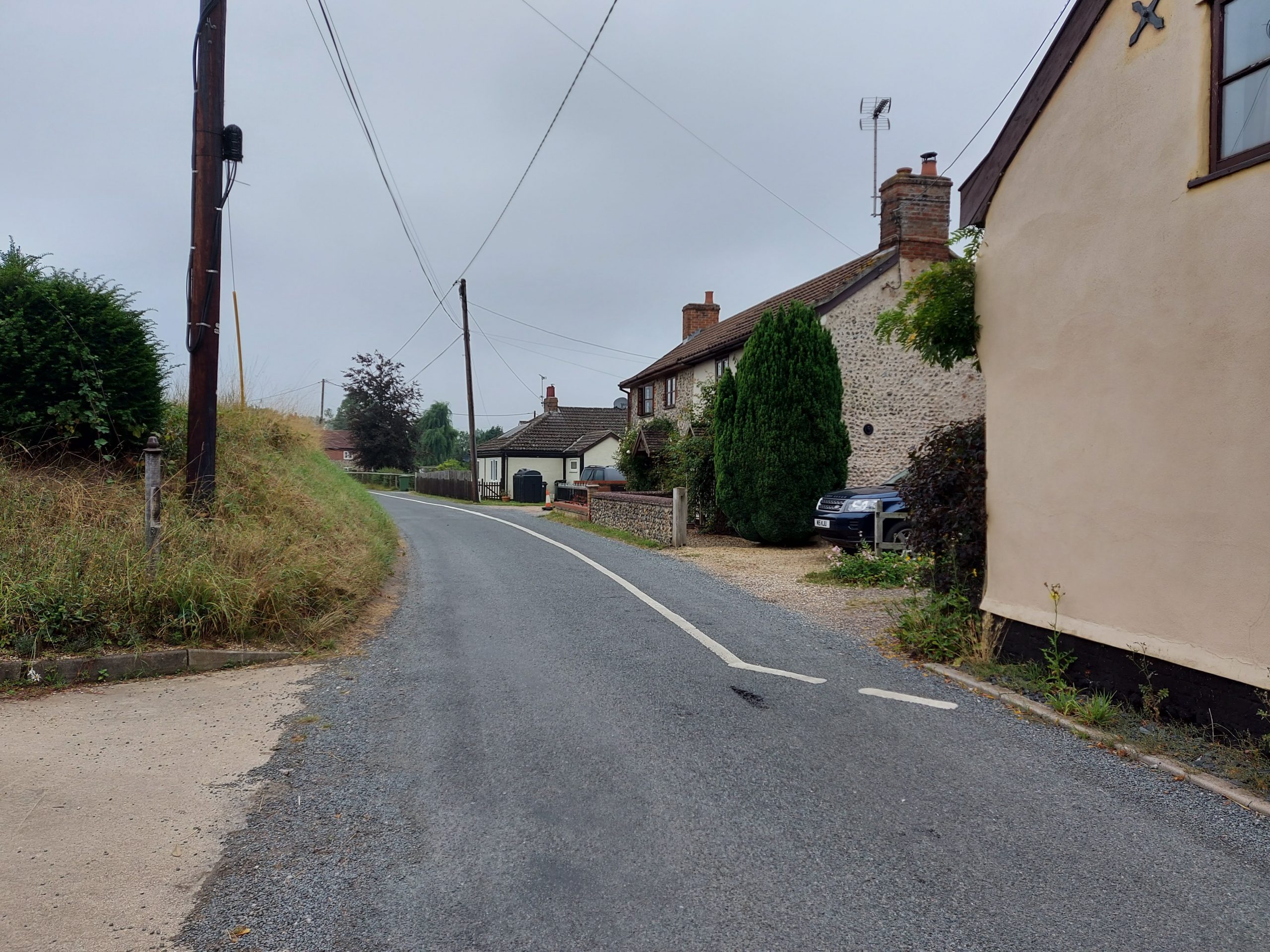
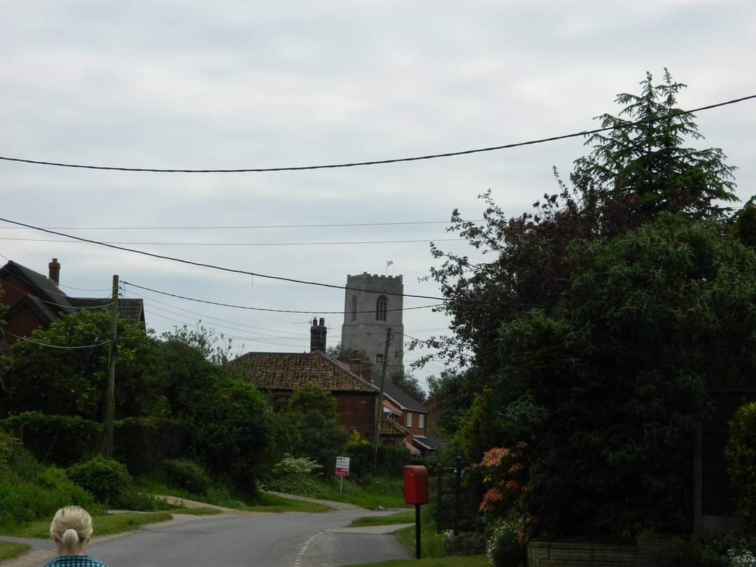
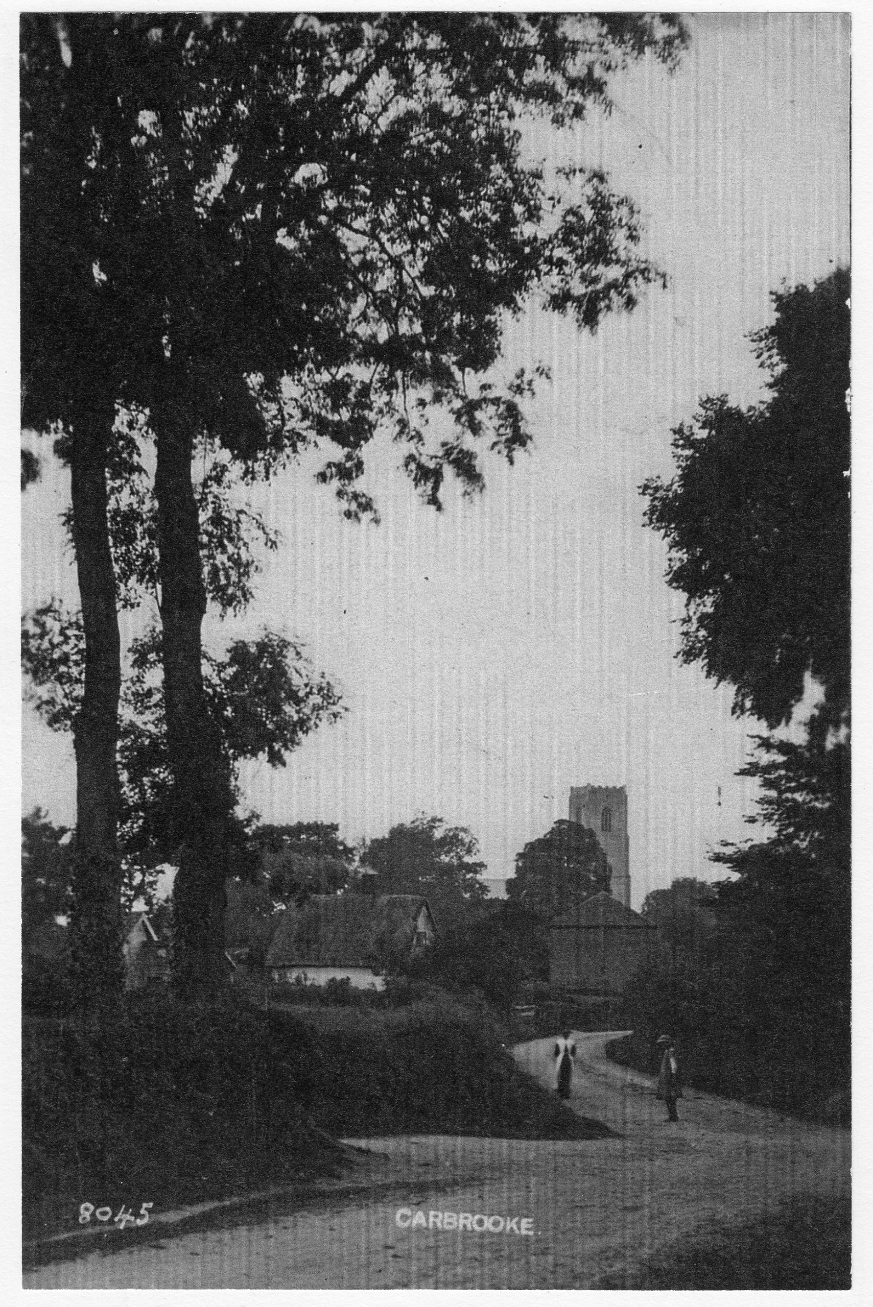
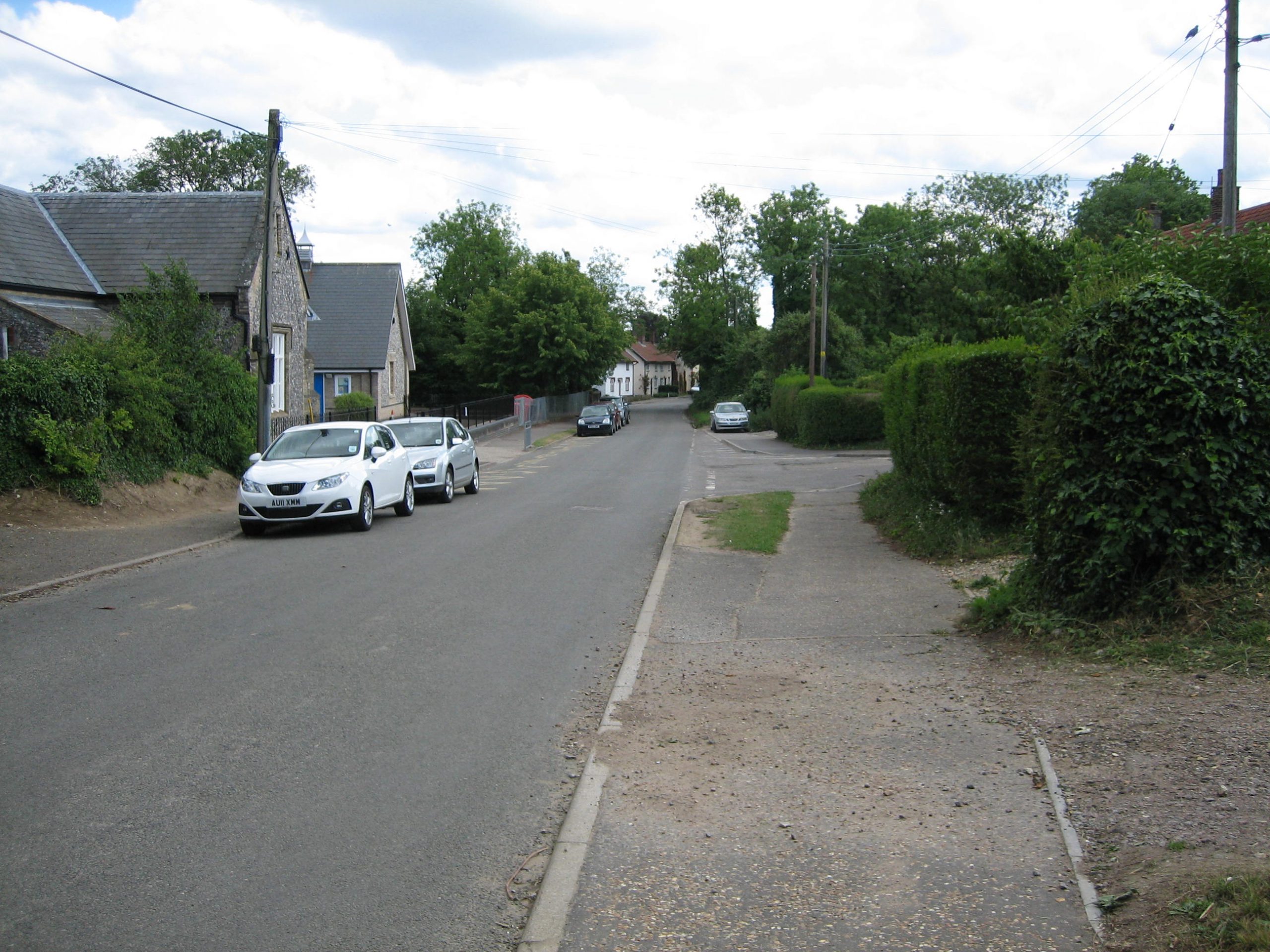
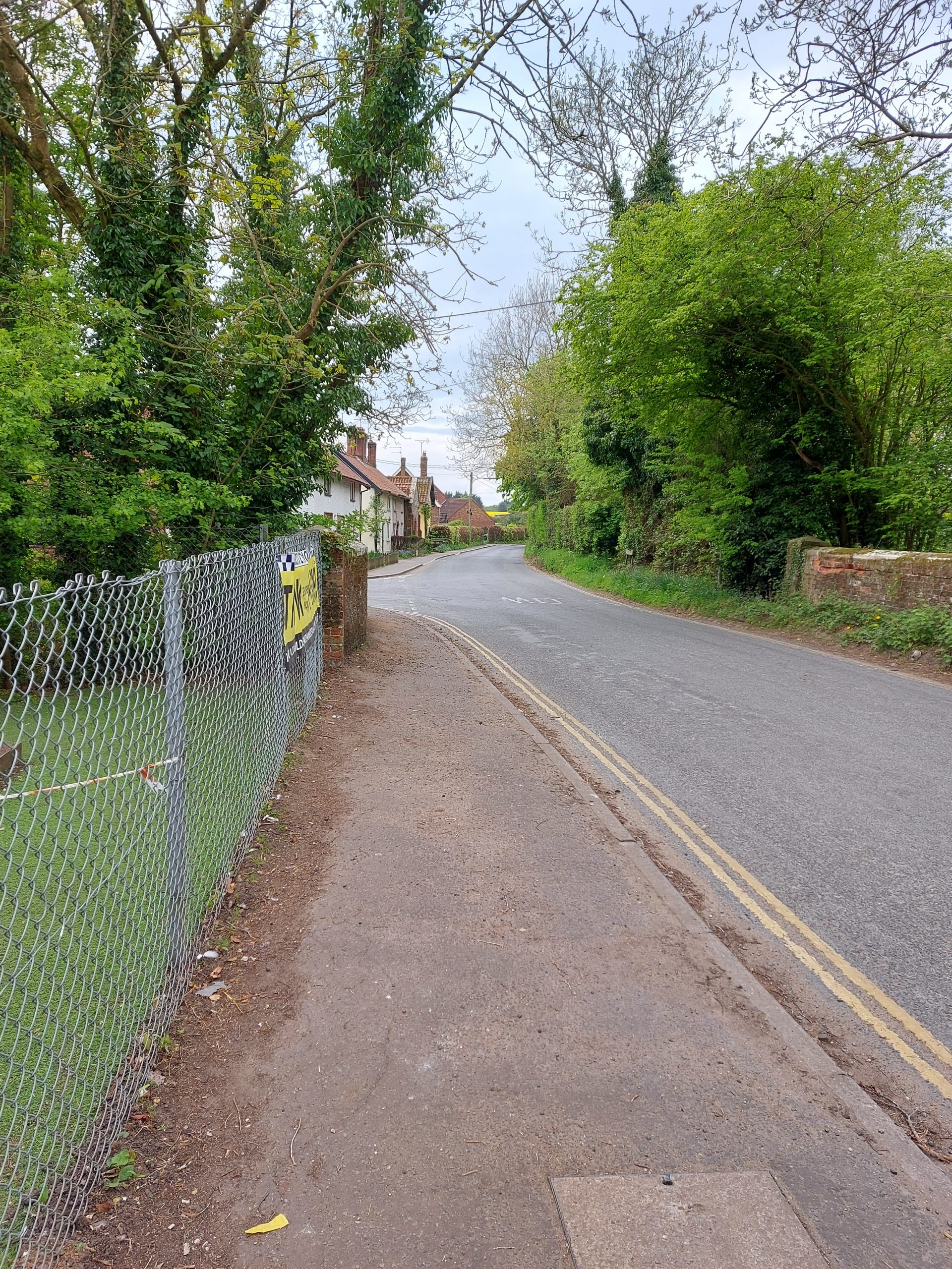
Church Street
In the centre of the village, Church Street stretches from the bridge at the south end to the bend at Meadow Lane. It takes in the church, school, village hall, Millennium Green and several very old properties.
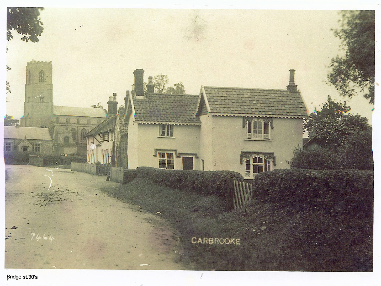
Bridge Street
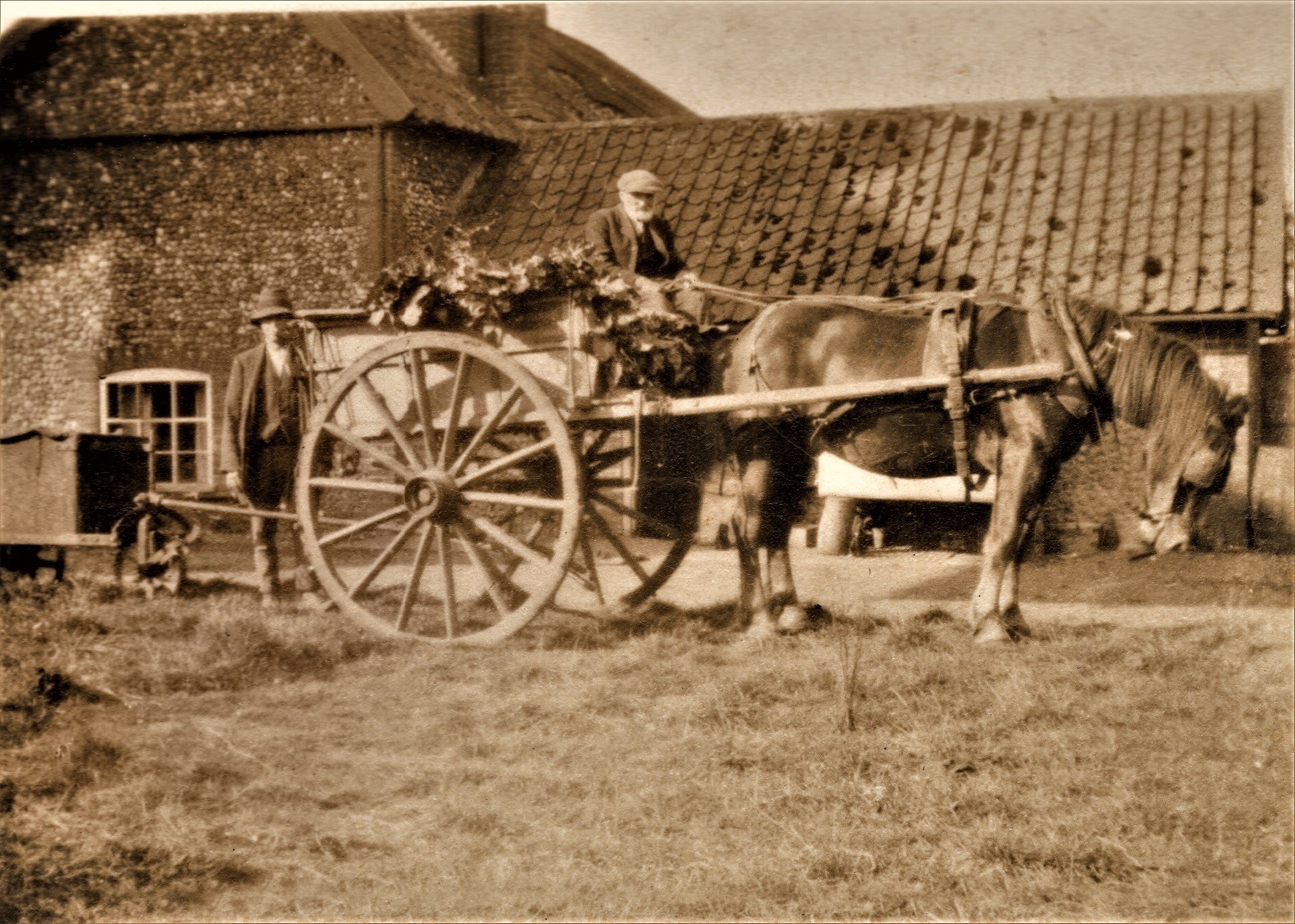
Farms
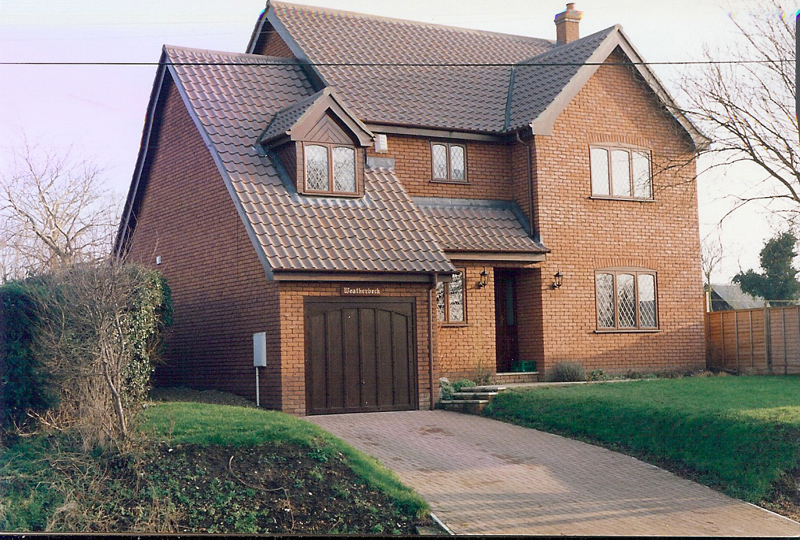
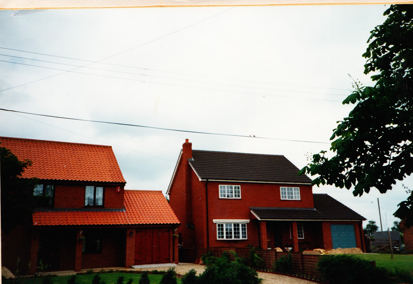
Some of the buildings in Carbrooke are very old, the oldest being the Church. Others may well have been built over even older buildings. We certainly have many listed buildings.Carbrooke Heritage Group would like to log our buildings and produce a history of each for future generations.
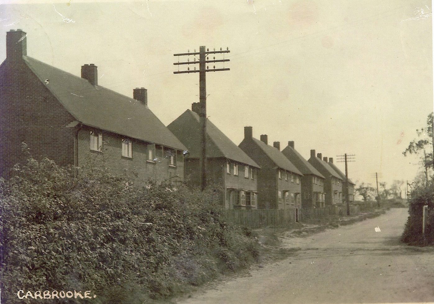
Carbrooke is not a museum, it is a living village, and so as with any typical English village, we have buildings and homes built through the centuries, and each has its story to tell, the style gives us clues as to when it was constructed and for what reason. There may be people who object to putting modern buildings in an old village, but this is what keeps the village alive and gives it its character. Every house was new once!
The history of Carbrooke through its buildings is fascinating, from the medieval stone work of the Church, clay lump and flint cottages, brick built houses, ex council house stock and community housing, – giving local folk an affordable way of living in their own community, old folks bungalows, the ex RAF houses built during the war to house RAF personel, more recent homes built to echo past building styles, and the modern ‘town house’ style buildings on Blenheim Grange, and most recently Carbrookes own Care Home at ‘Buckingham Lodge’, catering for sufferers of dementia.
However old you house have you considered looking into its history, or perhaps the history of the land it stands on.
This would be a fascinating project, and if you have any research, or even famous residents, of your house we would love to keep a record here.
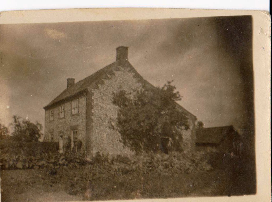
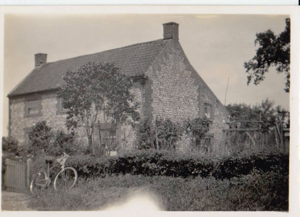
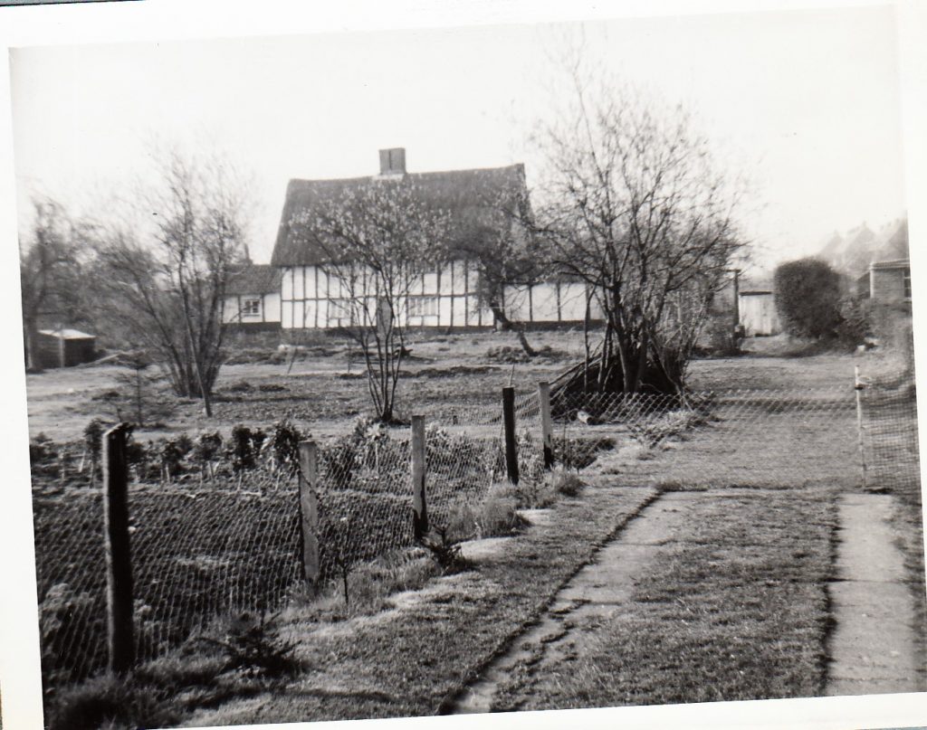
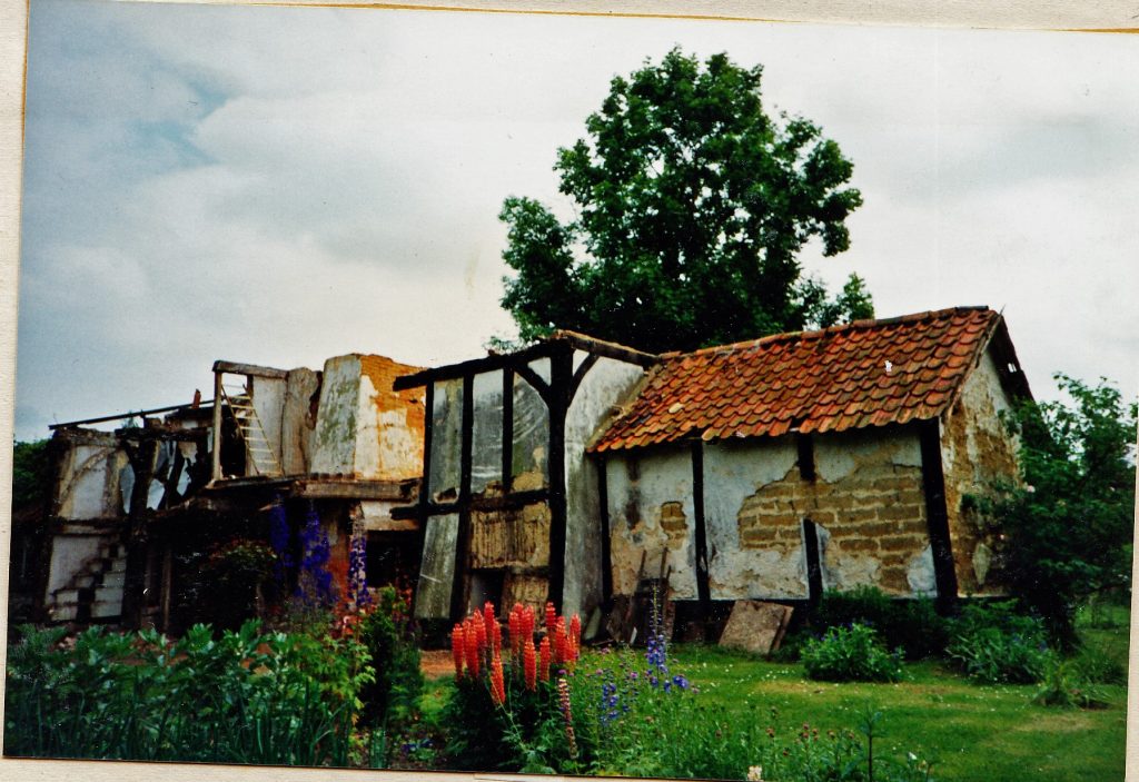
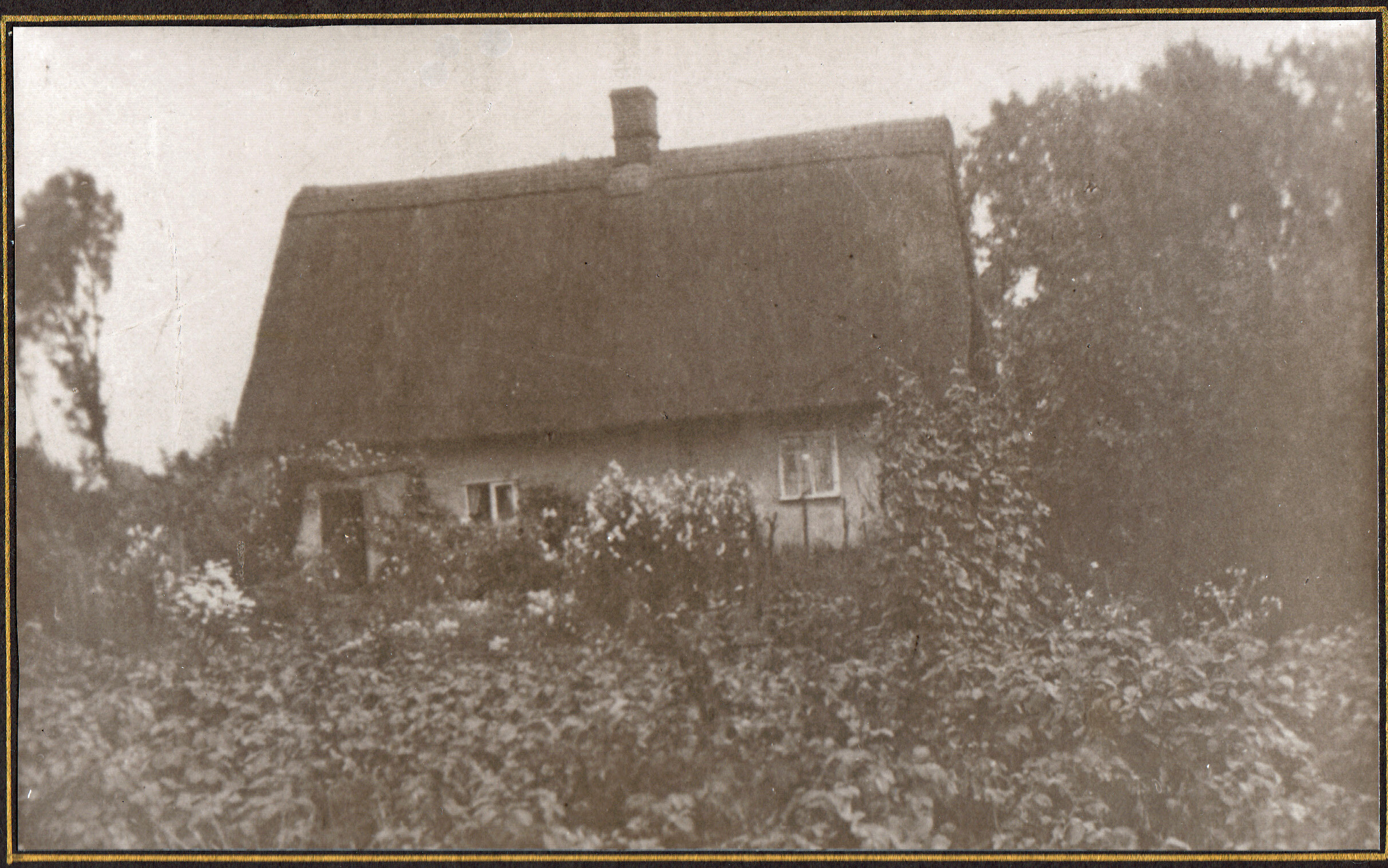
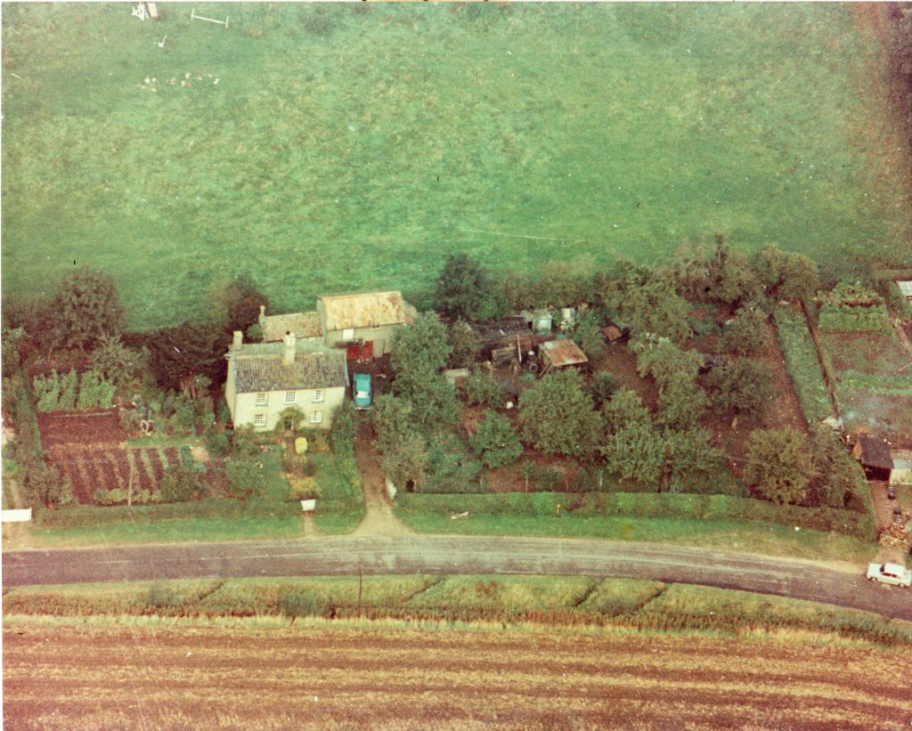
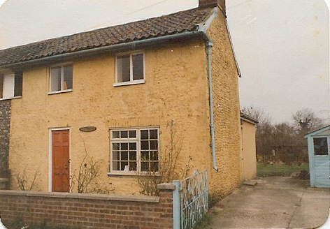
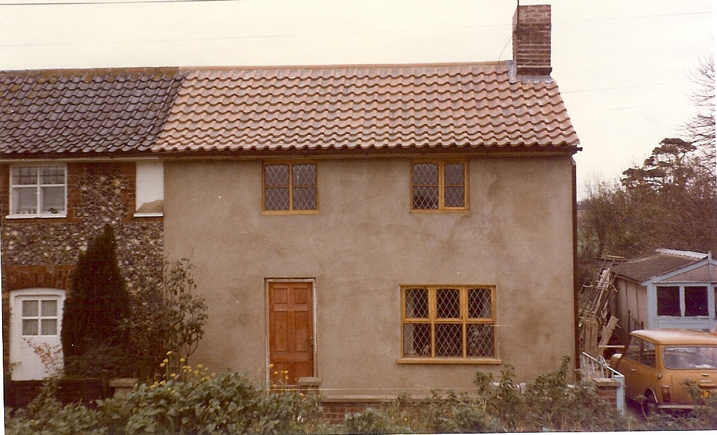
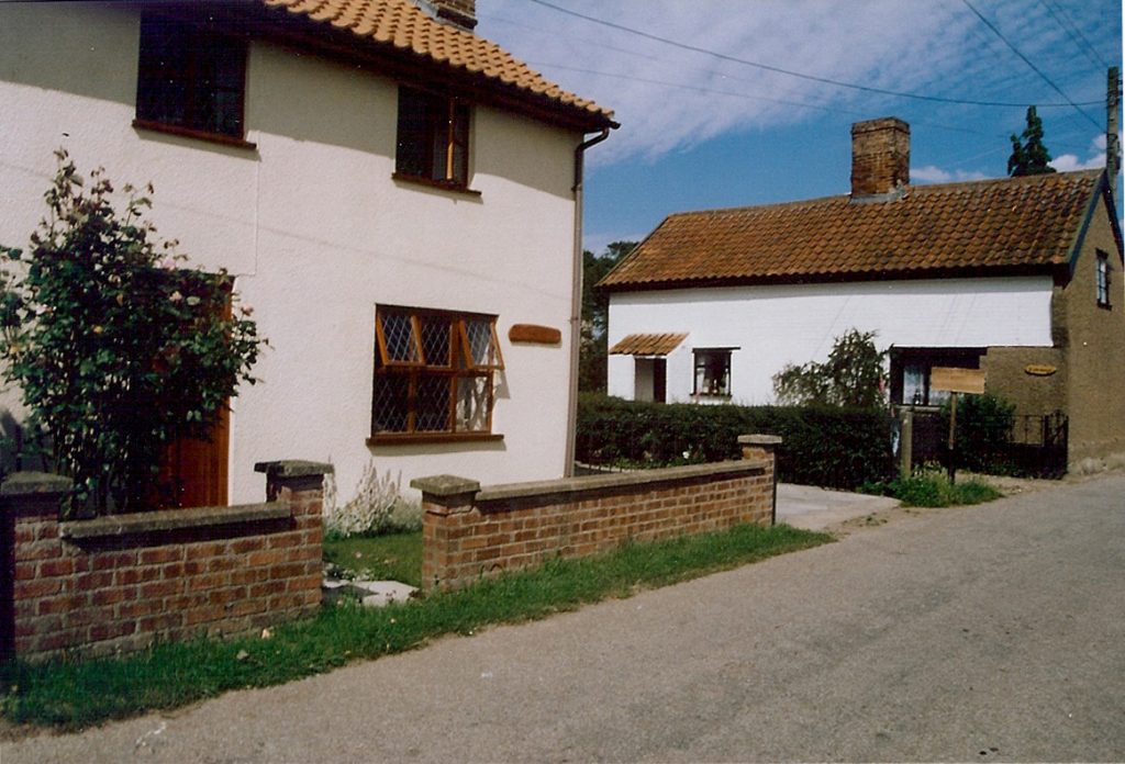
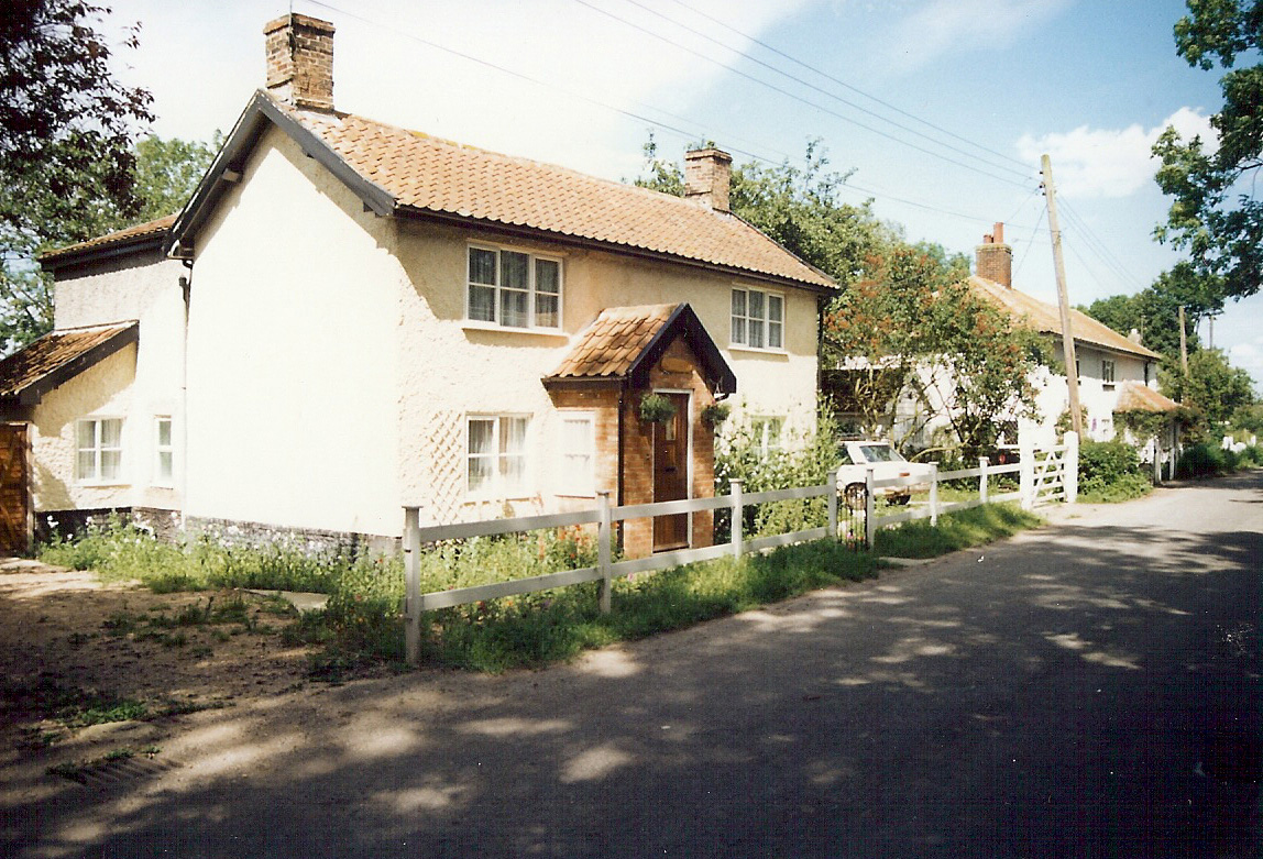
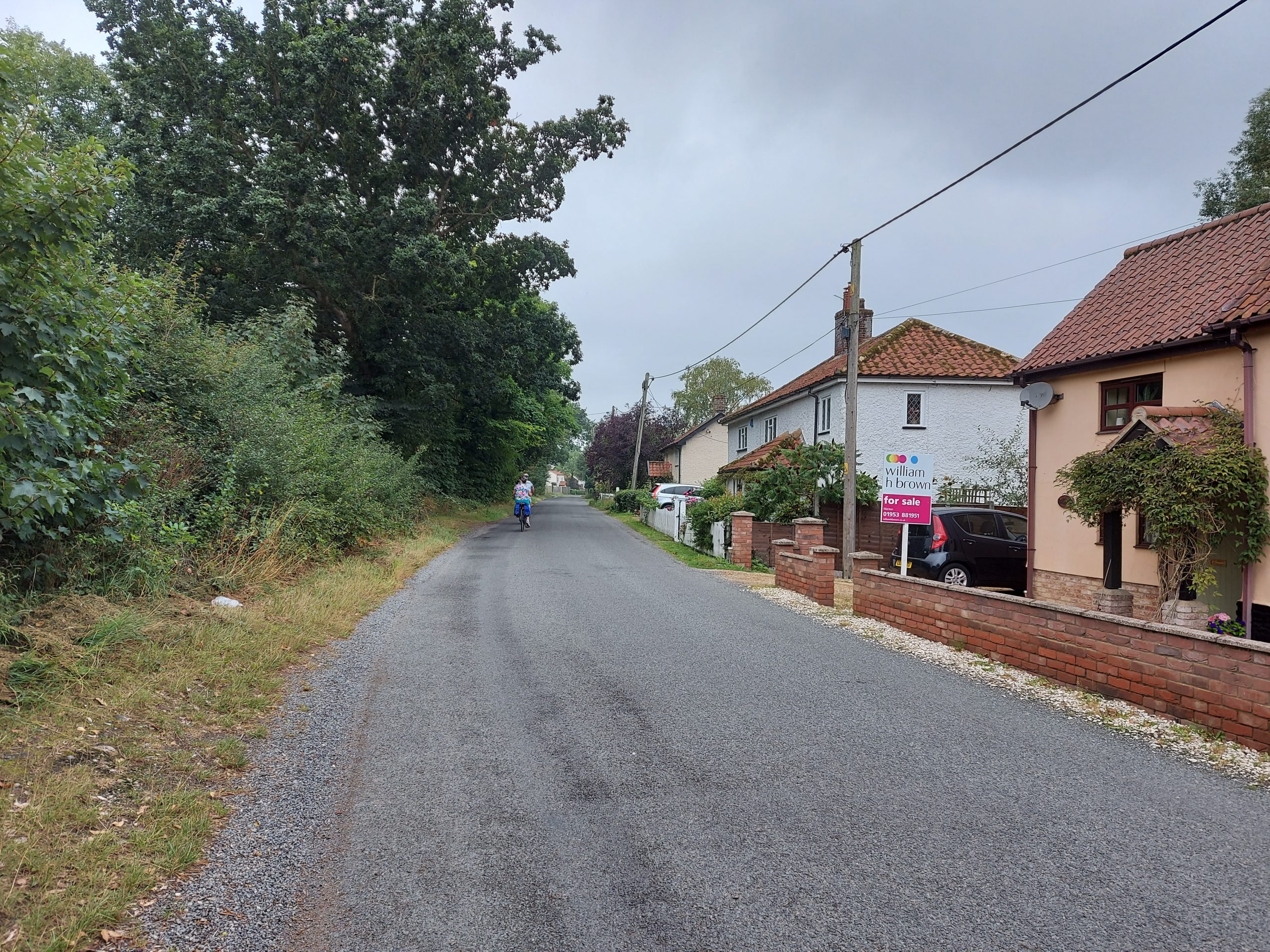
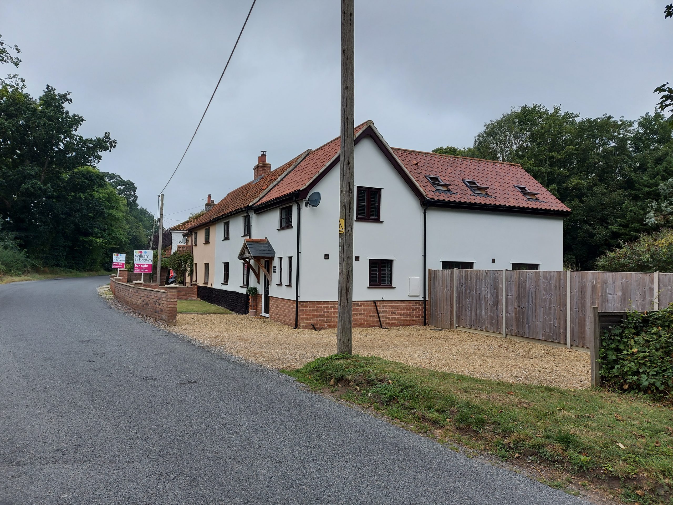
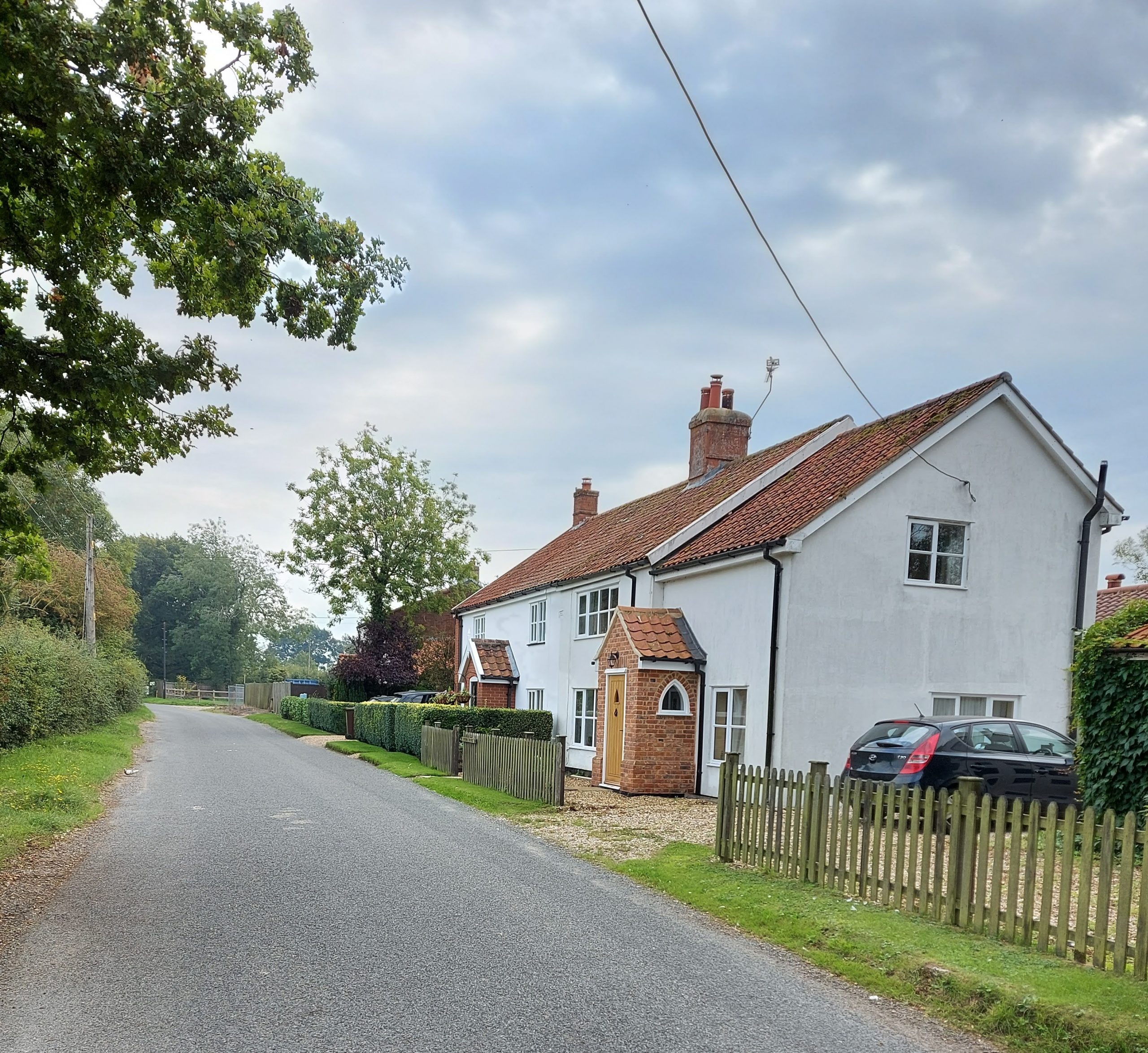
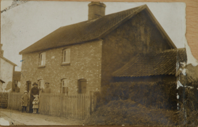
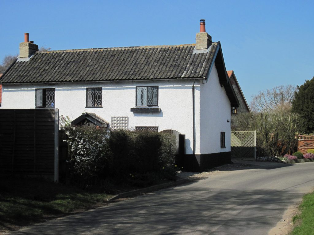
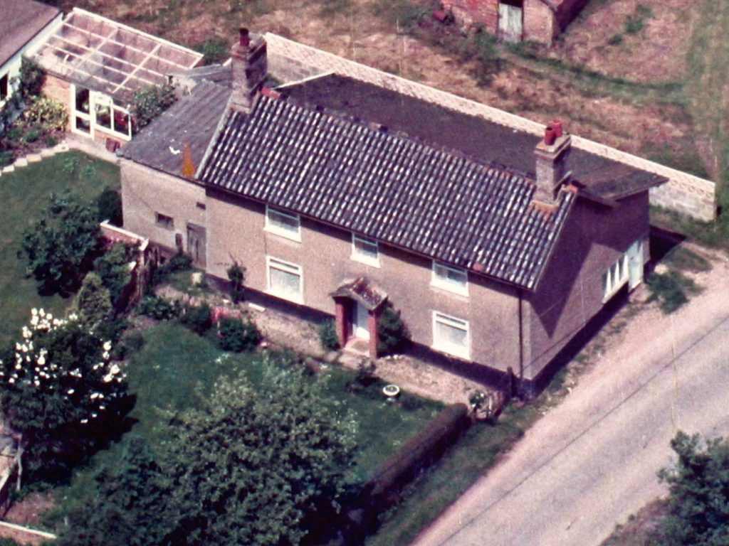
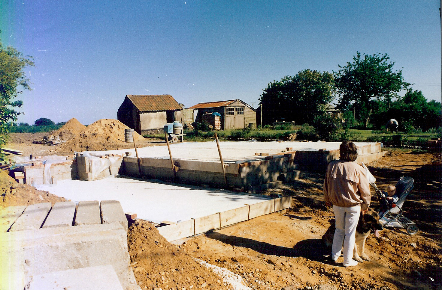
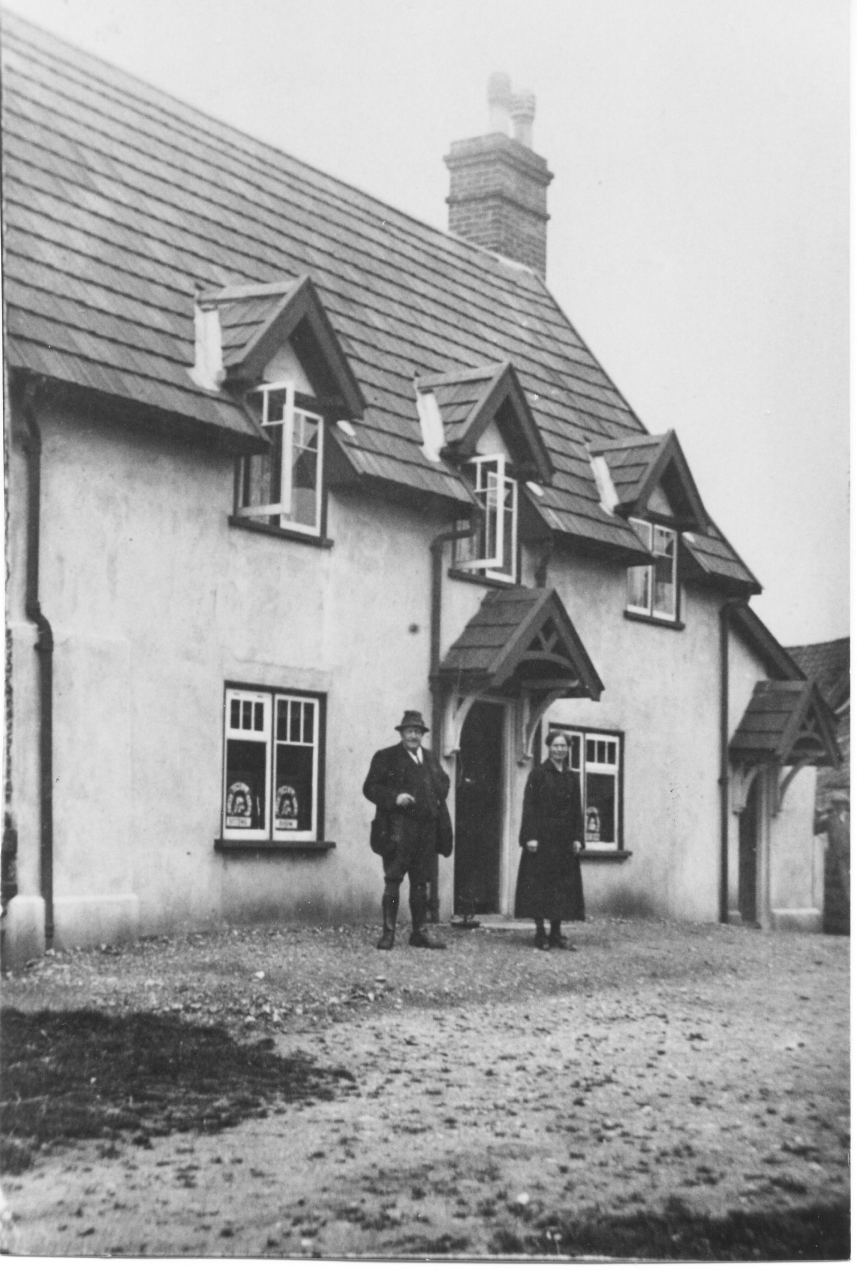
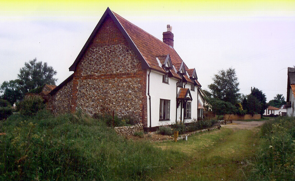
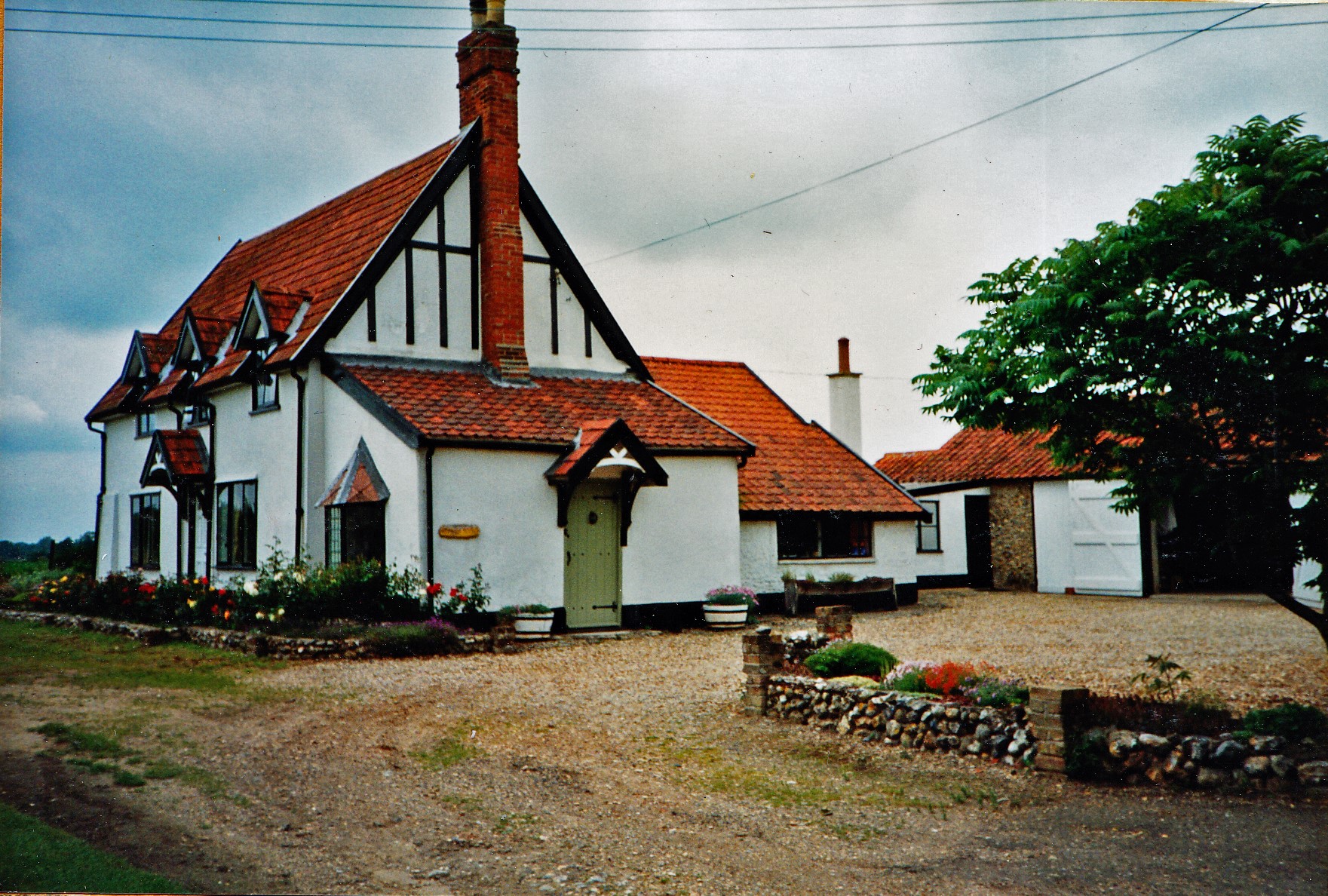
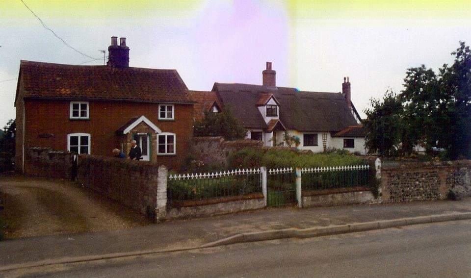
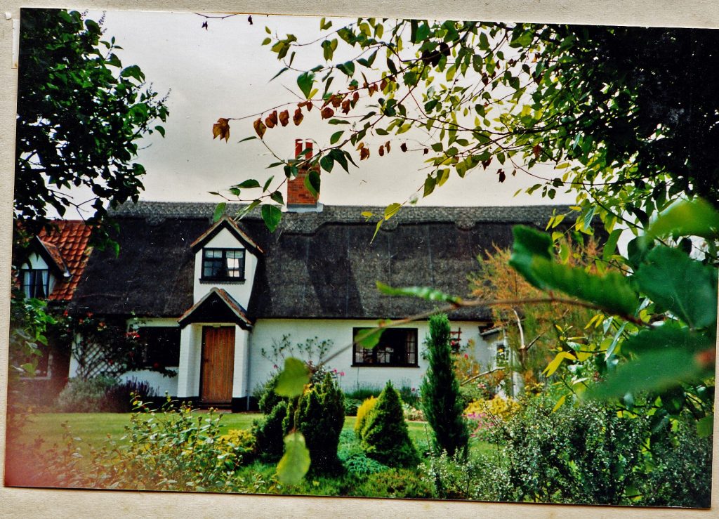
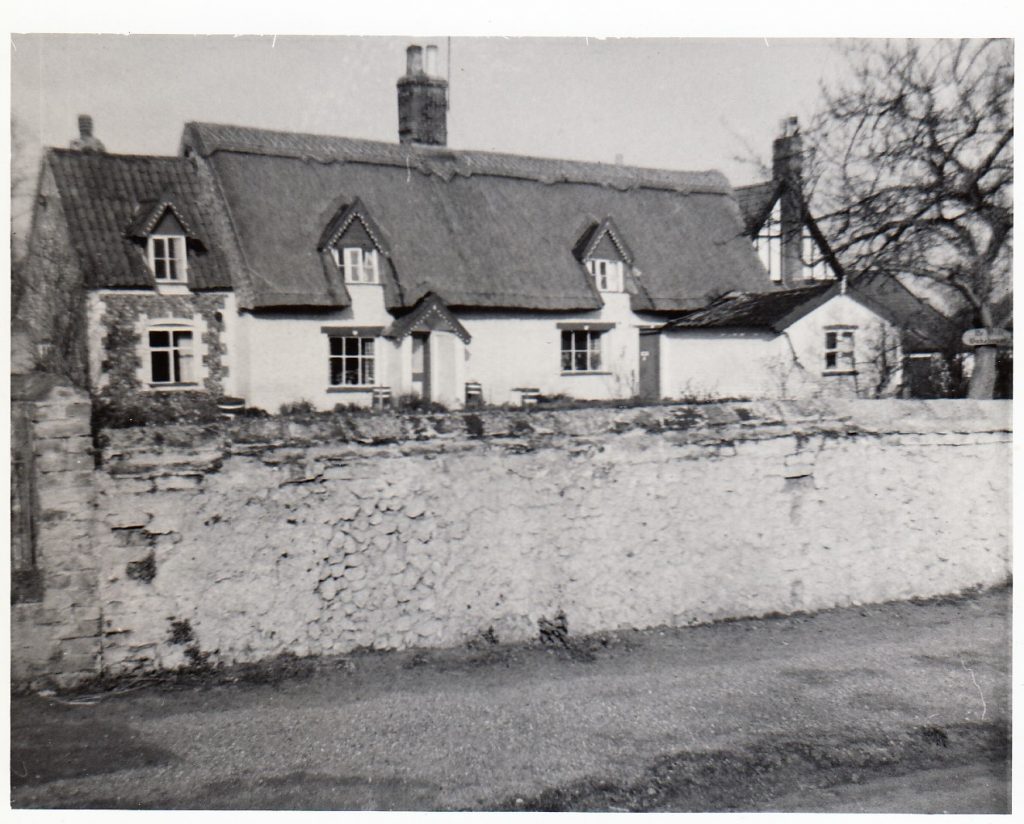
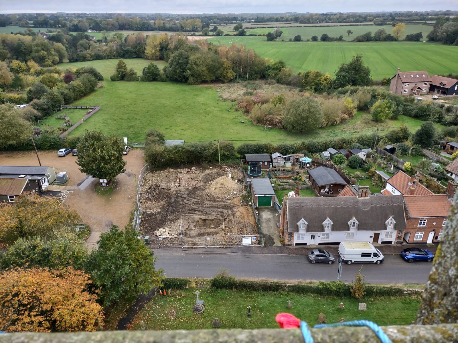
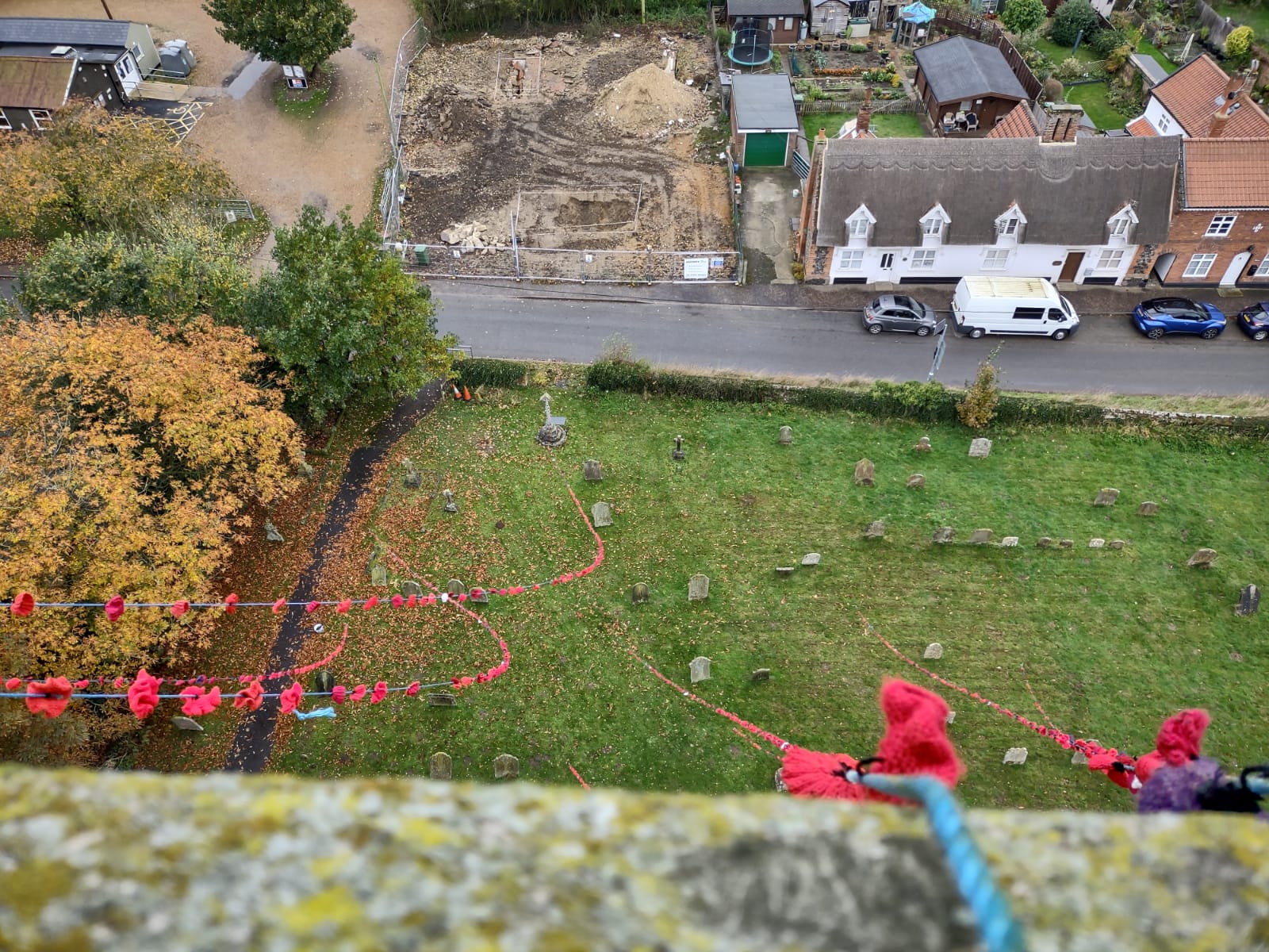
The History of Whitehouse Cottage, Church Street (with thanks to Jeffery Burbidge).
The aim of this website is to bring together Carbrooke heritage information. If you have any comments, information, anecdotes or photographs to share, please contact us.
Page Last Updated 05.10.2025